
Magnitude |
:2.6 |
| Date & Time (UTC) | 2015-08-27 07:24:58.8 |
| Date & Time (Local) | 1394/6/5 11:54:58.8 |
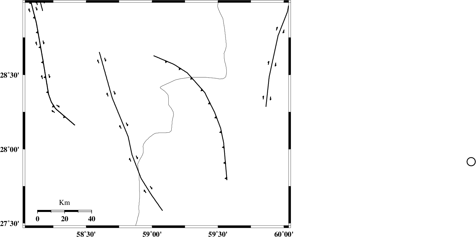
| Location | Lat:28.234 Lon: 59.036 |
| Region | Kerman Province, 118 km South-East of Bam |
Nearest Cities |
|
| 52 km South of Hoseynabad, Kerman Province | |
| 56 km South East of Mohammadabad-e gonbaki, Kerman Province | |
| 56 km North East of Borj-e abbasabad, Kerman Province | |
| 72 km South East of Void, Kerman Province | |
| 82 km South East of Fahroj, Kerman Province | |
| Depth | 14 km |
| Agency | |
Faults within 150 km: |
|
| BAM_F (Length: 118 km) , Distance to epicenter: 23 km | |
| KANURAK_F (Length: 135 km) , Distance to epicenter: 97 km | |
| GOWK_F (Length: 152 km) , Distance to epicenter: 111 km | |
| Number of Phases | 5 |
| RMS | 0.2 |
| Number of Stations | 3 |
| Error in Latitude | >5.3 km |
| Error in Longitude | 5.1 km |
| Error in Depth | 9.7 km |
Download waveform in seisan format
to download seisan software Click here
to access information about IIEES stations Click here
Amplitude | ||||||||
| UID | Agency | Station | Component | Amplitude | Period | Arrival Time | Proccessing Time | Signal Clip |
| 100565 | IIEES | BSRN | E | 12 | 0.35 | 2015-08-27 07:27:03 | 2015-08-29 11:24:00 | n |
| 100566 | IIEES | BSRN | N | 7.6 | 0.56 | 2015-08-27 07:27:10 | 2015-08-29 11:24:00 | n |
Phase | ||||||||||||
| Agency | Station | Component | Phase Type | Phase Quality | First Motion | Observed Arrival Time | Time Residual | Loc. Flag | Input Weight | Distance | Azimuth | |
| IIEES | ZHSF | Z | Pg | E | 2015-08-27 07:25:36 | 0.02 | y | 228 | 48 | |||
| IIEES | ZHSF | N | Sg | E | 2015-08-27 07:26:03 | -0.04 | y | 228 | 48 | |||
| IIEES | BSRN | Z | Pn | E | 2015-08-27 07:25:58 | 0.26 | y | 414 | 1 | |||
| IIEES | BSRN | N | Sg | E | 2015-08-27 07:26:54 | 0.02 | y | 414 | 1 | |||
| IIEES | TABS | Z | Pn | E | 2015-08-27 07:26:24 | -0.38 | y | 628 | 344 | |||