
Magnitude |
:3.3 |
| Date & Time (UTC) | 2015-08-09 14:57:08.8 |
| Date & Time (Local) | 1394/5/18 19:27:08.8 |
| Location | Lat:35.174 Lon: 58.981 |
| Region | Khorasan(center) Province, 24 km -West of Torbat-e heydariyeh |
Nearest Cities |
|
| 5 km North of Shadmehr, Khorasan(center) Province | |
| 20 km West of Booriabad, Khorasan(center) Province | |
| 23 km South of Babak, Khorasan(center) Province | |
| 24 km North East of Mahneh, Khorasan(center) Province | |
| 24 km West of Torbat-e heydariyeh, Khorasan(center) Province | |
| Depth | 18 km |
| Agency | |
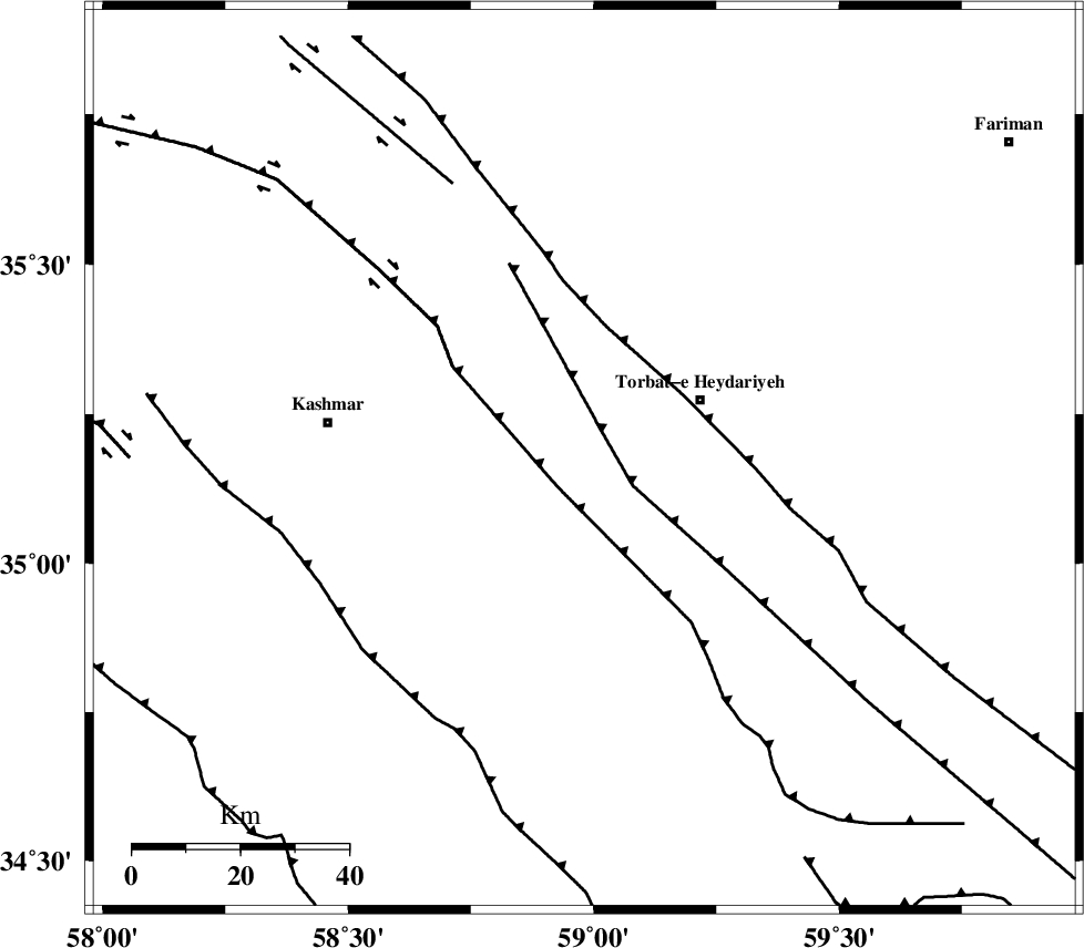
Faults within 150 km: |
|
| KASHMAR_F (Length: 91 km) , Distance to epicenter: 5 km | |
| DUGHABAD_F (Length: 62 km) , Distance to epicenter: 6 km | |
| JANGAL_F (Length: 111 km) , Distance to epicenter: 9 km | |
| Number of Phases | 6 |
| RMS | 0.2 |
| Number of Stations | 4 |
| Error in Latitude | >9 km |
| Error in Longitude | 9.1 km |
| Error in Depth | 8.1 km |
Download waveform in seisan format
to download seisan software Click here
to access information about IIEES stations Click here
Amplitude | ||||||||
| UID | Agency | Station | Component | Amplitude | Period | Arrival Time | Proccessing Time | Signal Clip |
| 100281 | IIEES | SHRT | N | 287.8 | 0.46 | 2015-08-09 14:58:16 | 2015-08-10 05:34:00 | n |
| 100282 | IIEES | SHRT | E | 258.9 | 0.38 | 2015-08-09 14:58:16 | 2015-08-10 05:34:00 | n |
Phase | ||||||||||||
| Agency | Station | Component | Phase Type | Phase Quality | First Motion | Observed Arrival Time | Time Residual | Loc. Flag | Input Weight | Distance | Azimuth | |
| IIEES | SHRT | Z | Pn | E | 2015-08-09 14:57:41 | -0.46 | y | 208 | 144 | |||
| IIEES | SHRT | E | Sg | E | 2015-08-09 14:58:08 | 0.25 | y | 208 | 144 | |||
| IIEES | SHRO | Z | Pn | E | 2015-08-09 14:57:51 | 0.1 | y | 284 | 290 | |||
| IIEES | SHRO | N | Sg | E | 2015-08-09 14:58:28 | -0.07 | y | 284 | 290 | |||
| IIEES | MRVT | Z | Pn | E | 2015-08-09 14:58:03 | 0.19 | y | 379 | 318 | |||
| IIEES | ZHSF | Z | Pn | E | 2015-08-09 14:58:35 | 0.04 | y | 639 | 164 | |||