
| Prel. Rep. | Date | Time(UTC) | Time(Local) | Lat. | Lon. | Depth | Mag. | Region | Waveform |
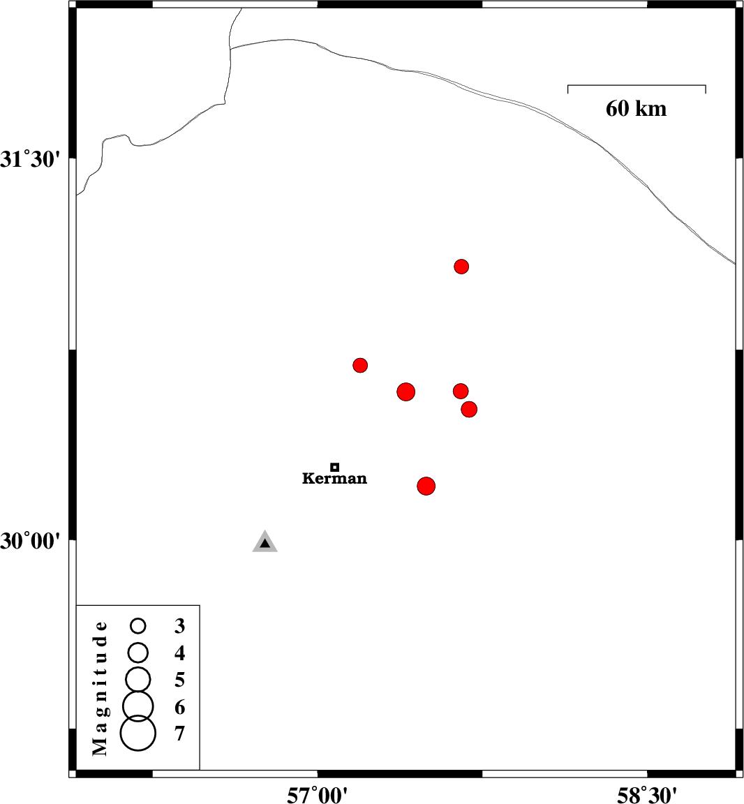
| 2025/02/20 | 19:53:33.2 | 23:23:33.2 | 30.584 | 57.402 | 12 | ML:3.7 | Kerman Province, 45 km North-East of Kerman | ||
| 2025/02/17 | 15:12:06.2 | 18:42:06.2 | 30.587 | 57.651 | 12 | ML:3.1 | Kerman Province, 64 km North-East of Kerman | ||
| 2025/02/16 | 19:38:52.7 | 23:08:52.7 | 31.076 | 57.654 | 12 | ML:3 | Kerman Province, 83 km South-East of Ravar | ||
| 2025/02/16 | 00:25:57.3 | 03:55:57.3 | 30.689 | 57.194 | 12 | ML:3 | Kerman Province, 46 km North-East of Kerman | ||
| 2025/02/15 | 22:44:37.7 | 02:14:37.7 | 30.516 | 57.689 | 16 | ML:3.2 | Kerman Province, 64 km North-East of Kerman | ||
| 2025/02/15 | 01:25:09.4 | 04:55:09.4 | 30.213 | 57.494 | 12 | ML:3.7 | Kerman Province, 41 km -East of Kerman |