
| Prel. Rep. | Date | Time(UTC) | Time(Local) | Lat. | Lon. | Depth | Mag. | Region | Waveform |
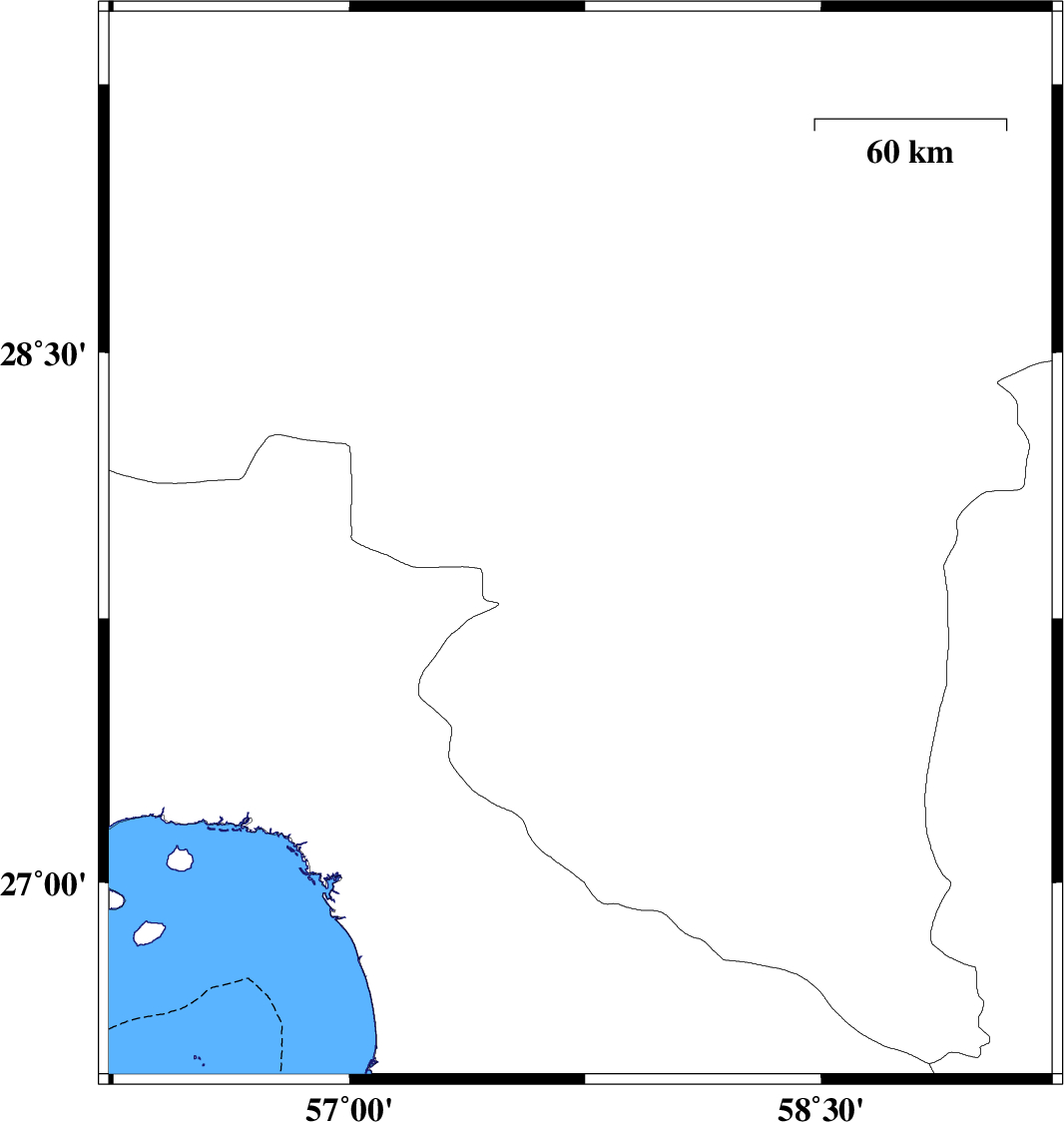
| 2017/03/19 | 16:09:47.5 | 19:39:47.5 | 27.954 | 57.735 | 16 | ML:3.1 | Kerman Province, 4 km of Kahnuj | ||
| 2017/03/18 | 20:38:33.5 | 00:08:33.5 | 28.383 | 59.002 | 17 | ML:2.5 | Kerman Province, 102 km South-East of Bam | ||
| 2017/03/17 | 14:21:52.4 | 17:51:52.4 | 28.469 | 57.248 | 17 | ML:2.7 | Kerman Province, 53 km South-West of Jiroft | ||
| 2017/03/17 | 09:18:53.5 | 12:48:53.5 | 27.445 | 57.85 | 14 | ML:2.9 | Kerman Province, 35 km -East of Manujan | ||
| 2017/03/13 | 06:51:56.4 | 10:21:56.4 | 28.024 | 57.606 | 14 | ML:2.9 | Kerman Province, 12 km of Kahnuj |