
| Prel. Rep. | Date | Time(UTC) | Time(Local) | Lat. | Lon. | Depth | Mag. | Region | Waveform |
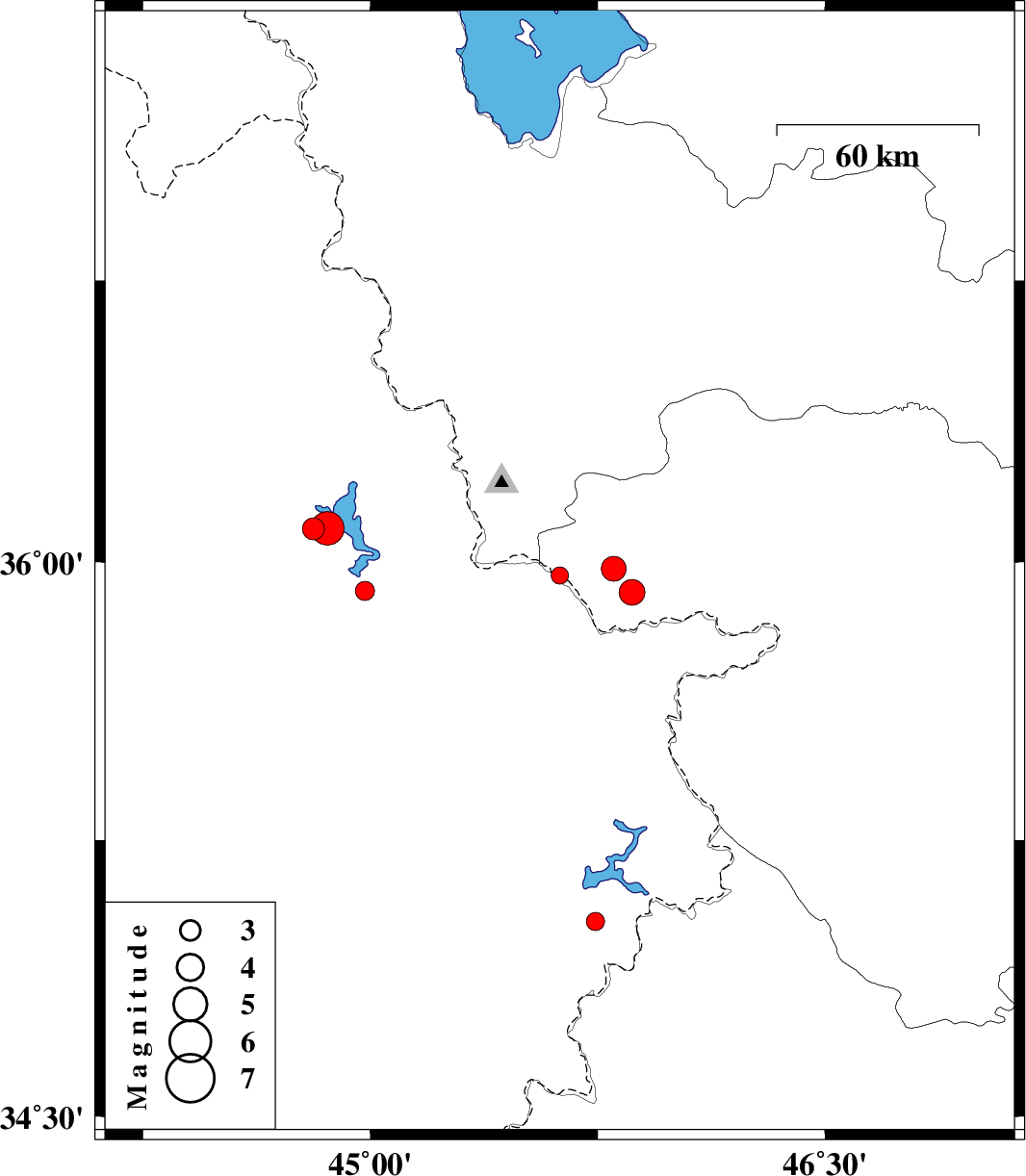
| 2017/09/21 | 05:47:11.6 | 10:17:11.6 | 35.964 | 45.625 | 14 | ML:2.5 | Kurdistan Province, 24 km -West of Baneh | ||
| 2017/09/06 | 22:48:05.5 | 03:18:05.5 | 35.03 | 45.743 | 15 | ML:2.7 | Iraq, 31 km North of Tazehabad | ||
| 2017/08/31 | 13:09:12.5 | 17:39:12.5 | 35.922 | 44.983 | 16 | ML:2.8 | Iraq, 51 km South-West of Sardasht | ||
| 2017/08/30 | 11:32:23.5 | 16:02:23.5 | 35.918 | 45.863 | 14 | ML:3.8 | Kurdistan Province, 8 km of Baneh | ||
| 2017/08/30 | 10:31:07.1 | 15:01:07.1 | 35.981 | 45.803 | 15 | ML:3.6 | Kurdistan Province, 8 km of Baneh | ||
| 2017/08/23 | 22:48:46.0 | 03:18:46.0 | 36.088 | 44.813 | 15 | ML:3.3 | Iraq, 59 km -West of Sardasht | ||
| 2017/08/23 | 13:42:53.5 | 18:12:53.5 | 36.09 | 44.859 | 15 | ML:5 | Iraq, 55 km -West of Sardasht |