
| Prel. Rep. | Date | Time(UTC) | Time(Local) | Lat. | Lon. | Depth | Mag. | Region | Waveform |
| 2017/06/09 | 15:05:58.7 | 19:35:58.7 | 30.678 | 57.555 | 14 | ML:2.8 | Kerman Province, 63 km North-East of Kerman | ||
| 2017/06/06 | 12:46:10.5 | 17:16:10.5 | 30.455 | 57.527 | 17 | ML:2.6 | Kerman Province, 47 km North-East of Kerman | ||
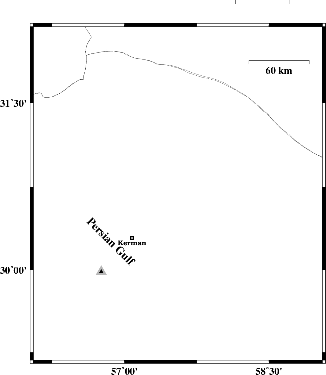
| 2017/06/05 | 15:34:22.0 | 20:04:22.0 | 30.159 | 57.504 | 14 | ML:3.2 | Kerman Province, 43 km South-East of Kerman | ||
| 2017/06/05 | 00:28:35.8 | 04:58:35.8 | 31.409 | 57.535 | 18 | ML:2.3 | Kerman Province, 70 km North-East of Ravar | ||
| 2017/06/03 | 17:27:03.0 | 21:57:03.0 | 29.393 | 59.033 | 15 | ML:3.4 | Kerman Province, 73 km North-East of Bam |