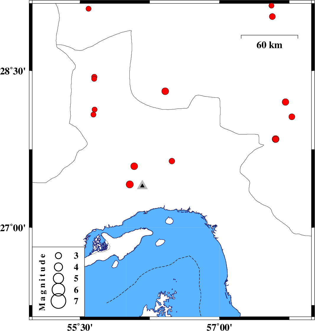
| Prel. Rep. | Date | Time(UTC) | Time(Local) | Lat. | Lon. | Depth | Mag. | Region | Waveform |
|
|
2017/06/02
|
18:57:21.5
|
23:27:21.5
| 27.638 | 56.488 | 14 |
ML:2.8
|
Hormozgan Province, 54 km North-East of Bandar-e abbas | |
|
|
2017/06/02
|
14:01:49.4
|
18:31:49.4
| 28.423 | 55.653 | 15 |
ML:2.5
|
Hormozgan Province, 27 km North-West of Hajiabad | |
|
|
2017/05/26
|
17:09:03.9
|
21:39:03.9
| 28.061 | 57.777 | 18 |
ML:2.9
|
Kerman Province, 15 km North of Kahnuj | |
|
|
2017/05/26
|
06:33:51.6
|
11:03:51.6
| 28.203 | 57.709 | 14 |
ML:3.3
|
Kerman Province, 28 km North of Kahnuj | |
|
|
2017/05/23
|
10:57:57.2
|
15:27:57.2
| 29.088 | 55.593 | 14 |
ML:2.5
|
Kerman Province, 41 km South of Sirjan | |
|
|
2017/05/23
|
01:31:29.3
|
06:01:29.3
| 27.415 | 56.036 | 14 |
ML:3.5
|
Hormozgan Province, 35 km North-West of Bandar-e abbas | |
|
|
2017/05/22
|
19:19:20.0
|
23:49:20.0
| 27.589 | 56.084 | 14 |
ML:3.4
|
Hormozgan Province, 49 km North-West of Bandar-e abbas | |
|
|
2017/05/20
|
16:37:26.7
|
21:07:26.7
| 29.117 | 57.558 | 14 |
ML:2.5
|
Kerman Province, 53 km North-West of Jiroft | |
|
|
2017/05/19
|
05:29:10.7
|
09:59:10.7
| 27.846 | 57.604 | 14 |
ML:2.9
|
Kerman Province, 15 km South of Kahnuj | |
|
|
2017/05/19
|
03:42:31.8
|
08:12:31.8
| 27.849 | 57.602 | 14 |
ML:3.4
|
Kerman Province, 14 km South of Kahnuj | |
|
|
2017/05/15
|
20:12:45.2
|
00:42:45.2
| 28.305 | 56.416 | 15 |
ML:3.4
|
Kerman Province, 50 km -East of Hajiabad | |
|
|
2017/05/15
|
18:39:43.9
|
23:09:43.9
| 28.13 | 55.658 | 18 |
ML:2.6
|
Hormozgan Province, 31 km South-West of Hajiabad | |
|
|
2017/05/15
|
16:20:24.1
|
20:50:24.1
| 28.083 | 55.645 | 15 |
ML:2.5
|
Hormozgan Province, 36 km South-West of Hajiabad | |
|
|
2017/05/10
|
19:04:36.0
|
23:34:36.0
| 28.441 | 55.654 | 7 |
ML:2.7
|
Hormozgan Province, 28 km North-West of Hajiabad | |
|
|
2017/05/03
|
17:28:49.2
|
21:58:49.2
| 29.013 | 57.567 | 27 |
ML:3
|
Kerman Province, 42 km North-West of Jiroft | |
