
| Prel. Rep. | Date | Time(UTC) | Time(Local) | Lat. | Lon. | Depth | Mag. | Region | Waveform |
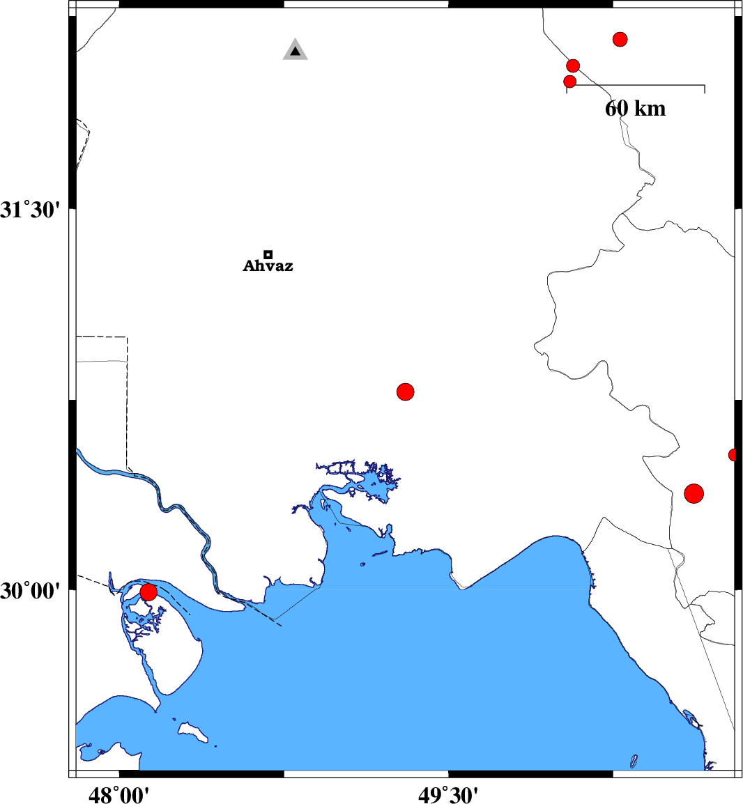
| 2017/03/24 | 11:23:12.1 | 15:53:12.1 | 30.782 | 49.303 | 15 | ML:3.5 | Khoozestan Province, 27 km North-East of Bandar-e mahshahr | ||
| 2017/03/19 | 22:36:36.0 | 02:06:36.0 | 29.991 | 48.133 | 15 | ML:3.5 | Persian Gulf, 49 km South of Khorramshahr | ||
| 2017/03/13 | 19:24:38.2 | 22:54:38.2 | 30.534 | 50.803 | 18 | ML:2.6 | Kohkiluieh va boyerahmad Province, 20 km North of Dogonbadan | ||
| 2017/03/07 | 16:03:06.7 | 19:33:06.7 | 32.159 | 50.281 | 14 | ML:2.9 | Chaharmahal Bakhtiari Province, 29 km -West of Farsan | ||
| 2017/03/02 | 07:48:14.8 | 11:18:14.8 | 31.995 | 50.052 | 15 | ML:2.6 | Khoozestan Province, 25 km North-East of Izeh | ||
| 2017/03/01 | 11:06:20.0 | 14:36:20.0 | 32.056 | 50.067 | 14 | ML:2.7 | Khoozestan Province, 31 km North-East of Izeh | ||
| 2017/02/28 | 16:29:24.1 | 19:59:24.1 | 30.381 | 50.618 | 15 | ML:4 | Kohkiluieh va boyerahmad Province, 17 km -West of Dogonbadan |