
| Prel. Rep. | Date | Time(UTC) | Time(Local) | Lat. | Lon. | Depth | Mag. | Region | Waveform |
| 2017/02/12 | 17:02:26.3 | 20:32:26.3 | 29.156 | 56.727 | 24 | ML:2.9 | Kerman Province, 14 km -East of Baft | ||
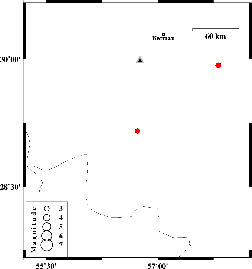
| 2017/02/10 | 17:28:44.6 | 20:58:44.6 | 29.925 | 57.813 | 15 | ML:3.4 | Kerman Province, 81 km South-East of Kerman |