
| Prel. Rep. | Date | Time(UTC) | Time(Local) | Lat. | Lon. | Depth | Mag. | Region | Waveform |
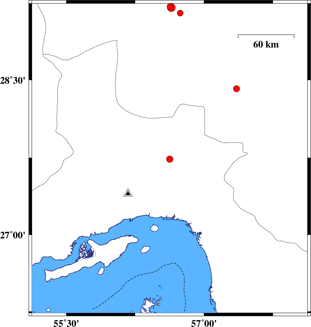
| 2017/02/03 | 15:33:52.3 | 19:03:52.3 | 27.735 | 56.626 | 14 | ML:3.3 | Hormozgan Province, 70 km North-East of Bandar-e abbas | ||
| 2017/01/29 | 01:58:51.2 | 05:28:51.2 | 29.204 | 56.629 | 23 | ML:3 | Kerman Province, 4 km of Baft | ||
| 2017/01/28 | 17:32:07.0 | 21:02:07.0 | 28.416 | 57.353 | 18 | ML:3.1 | Kerman Province, 47 km South-West of Jiroft | ||
| 2017/01/28 | 01:11:31.0 | 04:41:31.0 | 29.141 | 56.74 | 18 | ML:2.9 | Kerman Province, 16 km -East of Baft | ||
| 2017/01/28 | 00:18:28.8 | 03:48:28.8 | 29.194 | 56.643 | 17 | ML:4 | Kerman Province, 6 km of Baft |