
| Prel. Rep. | Date | Time(UTC) | Time(Local) | Lat. | Lon. | Depth | Mag. | Region | Waveform |
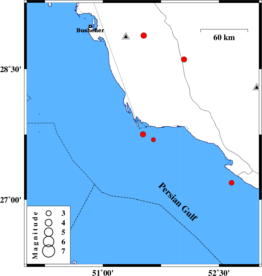
| 2017/01/25 | 10:00:25.5 | 13:30:25.5 | 27.752 | 51.517 | 27 | ML:3.2 | Persian Gulf, 54 km -West of Bandar-e kangan | ||
| 2017/01/24 | 04:05:28.1 | 07:35:28.1 | 28.609 | 52.047 | 18 | ML:3.2 | Fars Province, 29 km South of Farashband | ||
| 2017/01/14 | 11:33:20.0 | 15:03:20.0 | 27.69 | 51.652 | 14 | ML:2.6 | Persian Gulf, 43 km South-West of Bandar-e kangan | ||
| 2017/01/05 | 19:12:45.3 | 22:42:45.3 | 28.88 | 51.527 | 12 | ML:3.4 | Bushehr Province, 26 km -East of Ahram | ||
| 2017/01/03 | 18:34:31.0 | 22:04:31.0 | 27.194 | 52.662 | 14 | ML:3 | Persian Gulf, 45 km South-West of Mehr |