
| Prel. Rep. | Date | Time(UTC) | Time(Local) | Lat. | Lon. | Depth | Mag. | Region | Waveform |
| 2017/01/22 | 19:46:40.5 | 23:16:40.5 | 30.407 | 57.376 | 14 | ML:2.7 | Kerman Province, 31 km North-East of Kerman | ||
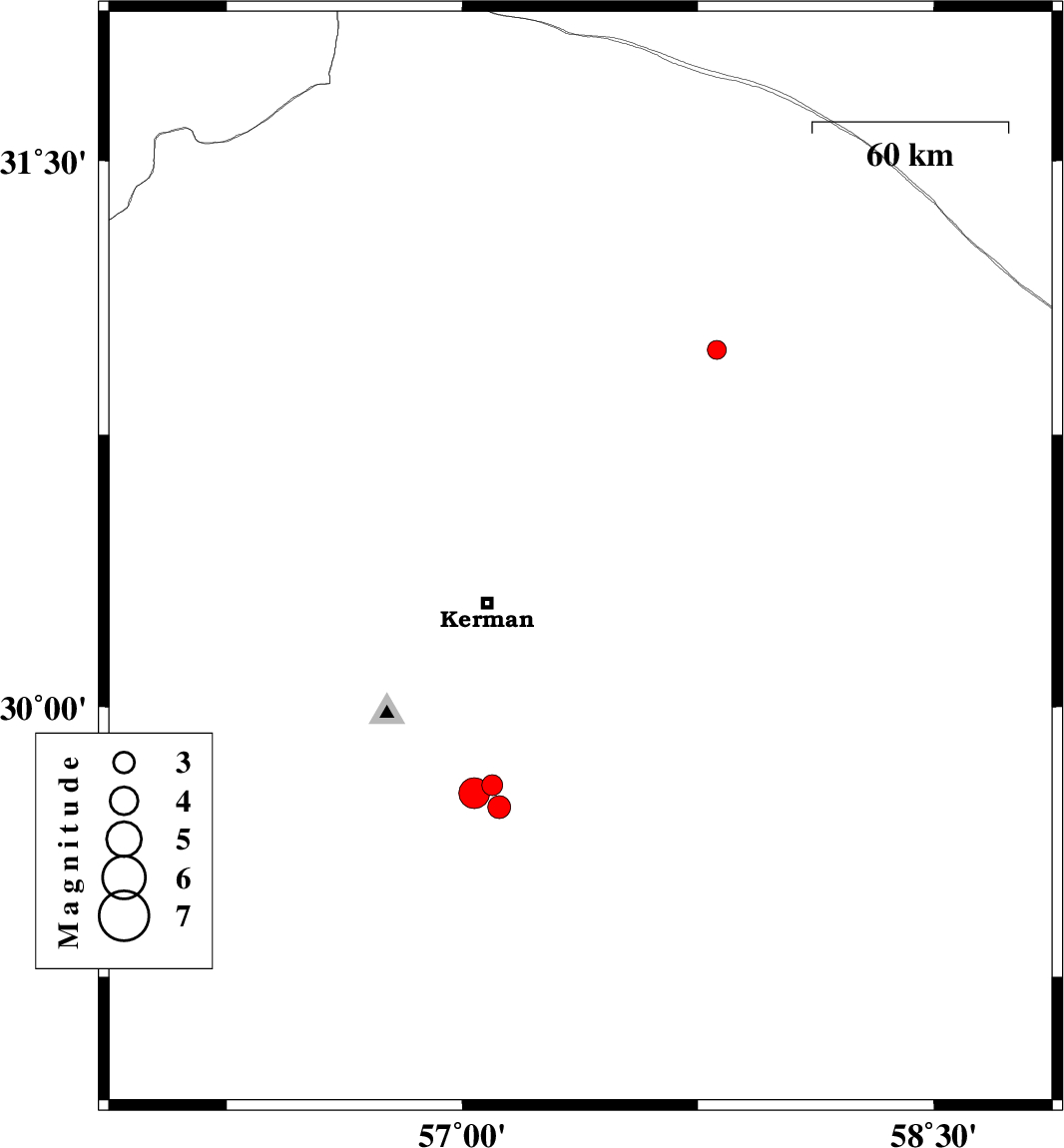
| 2017/01/22 | 18:07:50.2 | 21:37:50.2 | 29.139 | 56.684 | 18 | ML:3.3 | Kerman Province, 13 km of Baft | ||
| 2017/01/21 | 16:35:07.7 | 20:05:07.7 | 31.457 | 56.467 | 16 | ML:2.9 | Kerman Province, 39 km North-West of Ravar | ||
| 2017/01/21 | 15:15:04.8 | 18:45:04.8 | 29.2 | 56.662 | 15 | ML:2.9 | Kerman Province, 6 km of Baft | ||
| 2017/01/21 | 08:23:14.1 | 11:53:14.1 | 29.178 | 56.605 | 29 | ML:4.4 | Kerman Province, 6 km of Baft |