
| Prel. Rep. | Date | Time(UTC) | Time(Local) | Lat. | Lon. | Depth | Mag. | Region | Waveform |
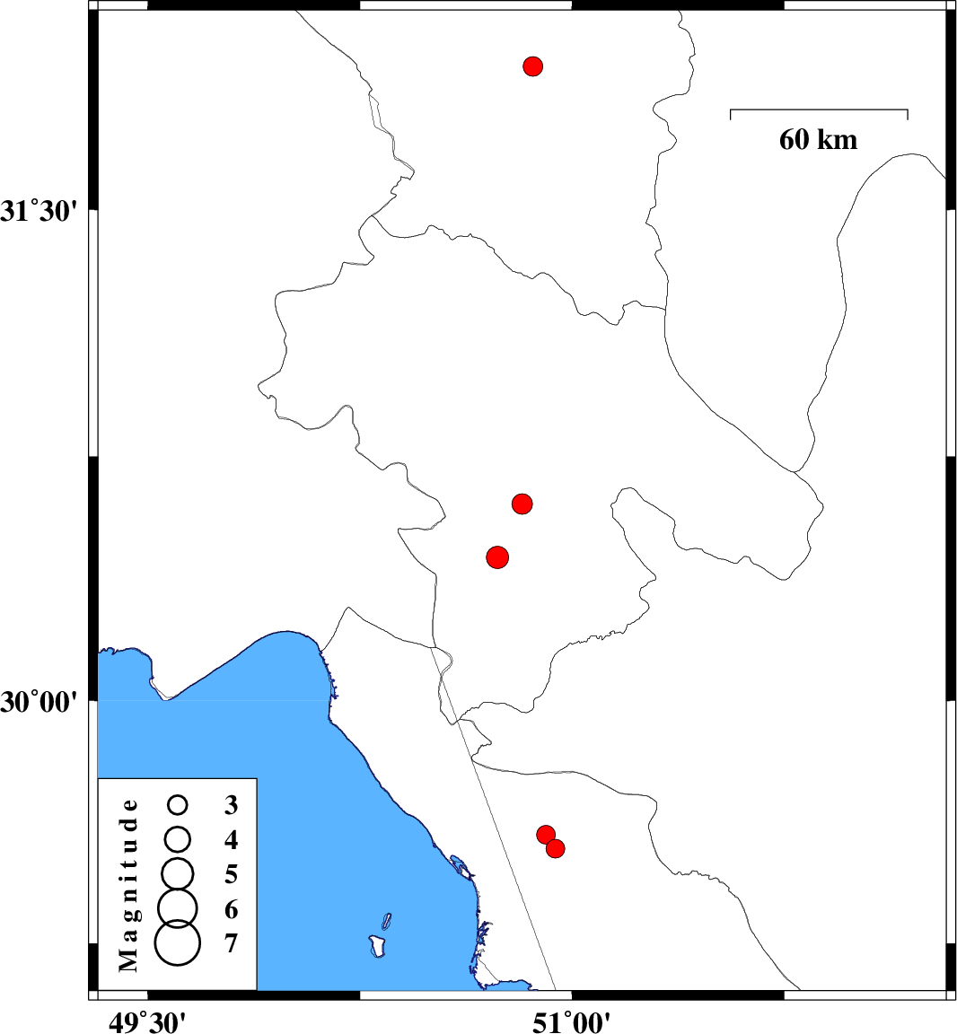
| 2017/01/11 | 11:02:39.4 | 14:32:39.4 | 30.604 | 50.823 | 18 | ML:3.3 | Kohkiluieh va boyerahmad Province, 28 km North of Dogonbadan | ||
| 2017/01/07 | 20:34:14.2 | 00:04:14.2 | 30.44 | 50.736 | 15 | ML:3.5 | Kohkiluieh va boyerahmad Province, 11 km of Dogonbadan | ||
| 2017/01/06 | 08:22:03.2 | 11:52:03.2 | 31.933 | 50.862 | 15 | ML:3.1 | Chaharmahal Bakhtiari Province, 21 km -East of Ardel | ||
| 2017/01/05 | 02:25:50.1 | 05:55:50.1 | 29.543 | 50.94 | 15 | ML:2.9 | Bushehr Province, 41 km -East of Bandar-e genaveh | ||
| 2017/01/04 | 23:23:52.4 | 02:53:52.4 | 29.586 | 50.907 | 15 | ML:2.9 | Bushehr Province, 38 km -East of Bandar-e genaveh |