
| Prel. Rep. | Date | Time(UTC) | Time(Local) | Lat. | Lon. | Depth | Mag. | Region | Waveform |
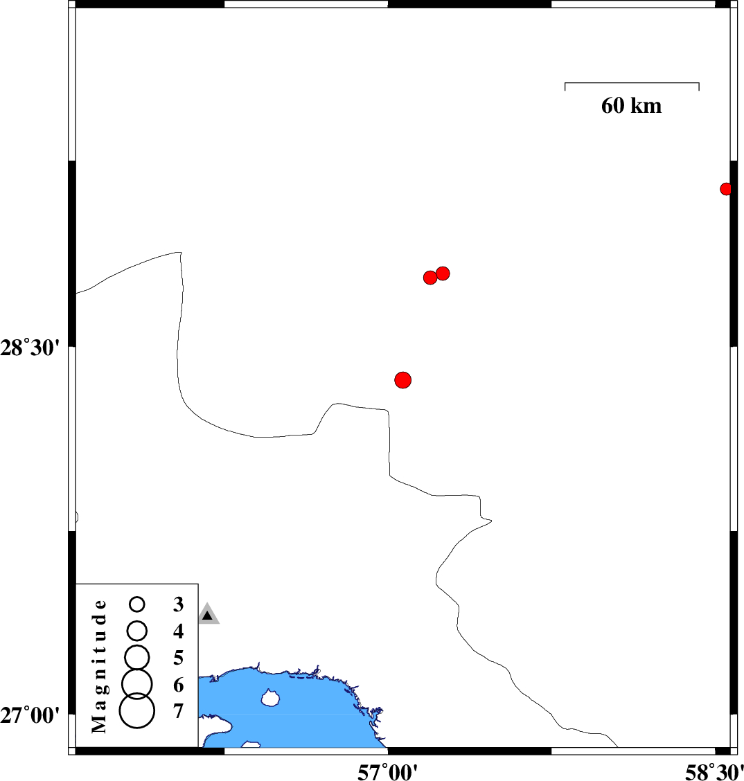
| 2016/12/10 | 17:07:56.9 | 20:37:56.9 | 28.363 | 57.068 | 14 | ML:3.4 | Kerman Province, 74 km South-West of Jiroft | ||
| 2016/11/27 | 15:20:05.6 | 18:50:05.6 | 29.135 | 58.551 | 14 | ML:2.5 | Kerman Province, 19 km -East of Bam | ||
| 2016/11/12 | 02:41:55.4 | 06:11:55.4 | 28.778 | 57.193 | 17 | ML:2.8 | Kerman Province, 55 km North-West of Jiroft | ||
| 2016/11/10 | 14:33:41.7 | 18:03:41.7 | 28.795 | 57.251 | 16 | ML:2.8 | Kerman Province, 50 km North-West of Jiroft |