
| Prel. Rep. | Date | Time(UTC) | Time(Local) | Lat. | Lon. | Depth | Mag. | Region | Waveform |
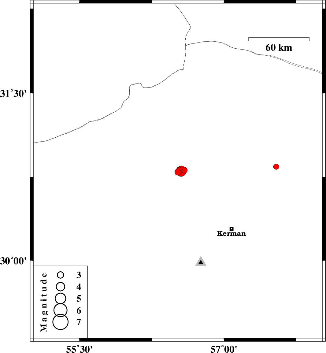
| 2016/10/21 | 09:46:34.8 | 13:16:34.8 | 30.796 | 56.522 | 11 | ML:3 | Kerman Province, 5 km of Zarand | ||
| 2016/10/20 | 18:48:24.6 | 22:18:24.6 | 30.815 | 56.54 | 7 | ML:2.6 | Kerman Province, 3 km of Zarand | ||
| 2016/10/20 | 15:27:55.1 | 18:57:55.1 | 30.812 | 56.589 | 9 | ML:2.8 | Kerman Province, 2 km of Zarand | ||
| 2016/10/20 | 15:22:36.3 | 18:52:36.3 | 30.822 | 56.558 | 6 | ML:3.1 | Kerman Province, 2 km of Zarand | ||
| 2016/10/20 | 15:10:29.3 | 18:40:29.3 | 30.803 | 56.556 | 10 | ML:4.8 | Kerman Province, 1 km of Zarand | ||
| 2016/10/14 | 07:21:42.7 | 10:51:42.7 | 30.844 | 57.543 | 16 | ML:2.5 | Kerman Province, 93 km -East of Zarand |