
| Prel. Rep. | Date | Time(UTC) | Time(Local) | Lat. | Lon. | Depth | Mag. | Region | Waveform |
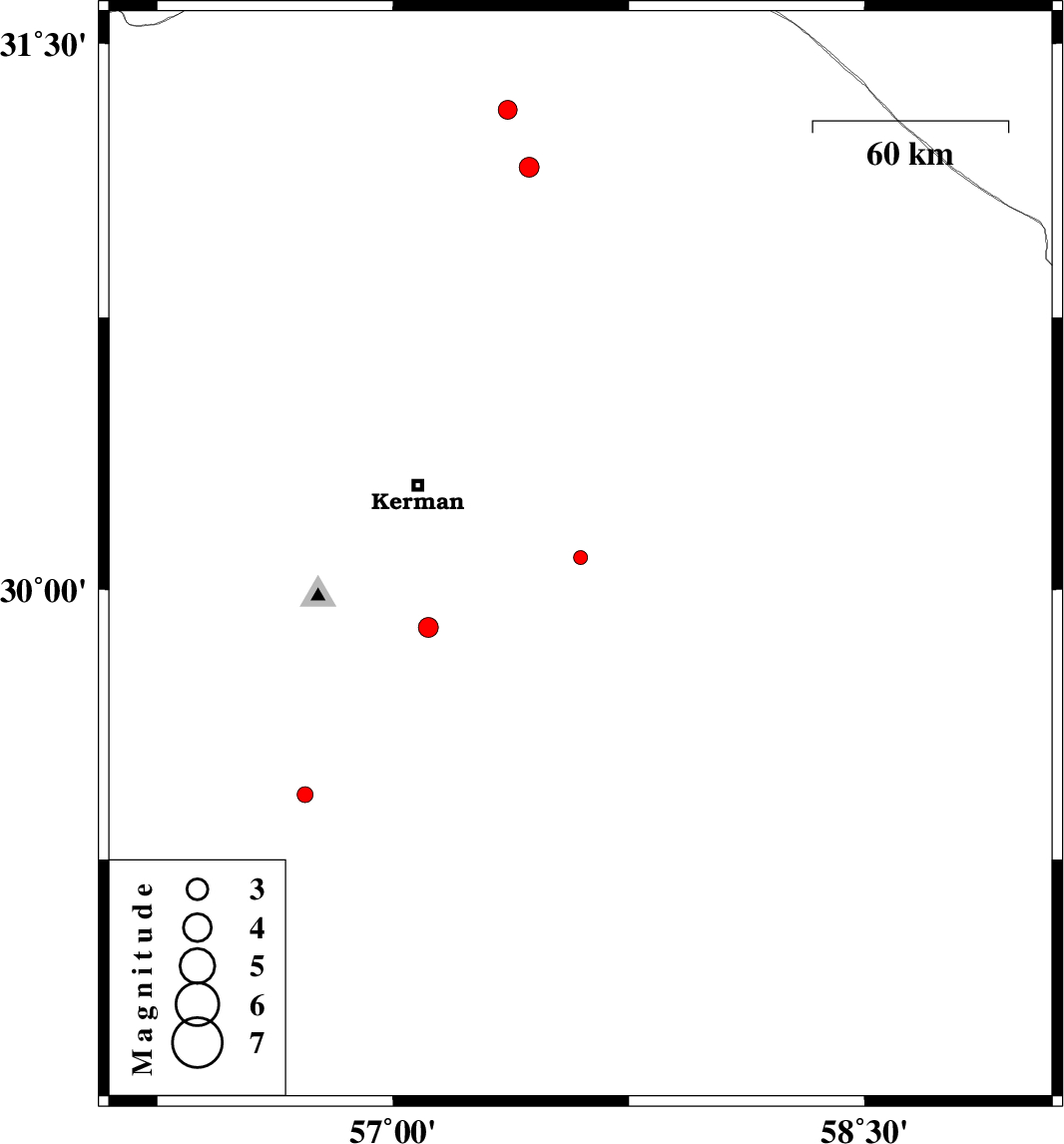
| 2016/07/29 | 12:27:01.4 | 16:57:01.4 | 30.089 | 57.596 | 14 | ML:2 | Kerman Province, 54 km South-East of Kerman | ||
| 2016/07/28 | 01:57:48.3 | 06:27:48.3 | 31.162 | 57.433 | 14 | ML:2.8 | Kerman Province, 60 km South-East of Ravar | ||
| 2016/07/23 | 05:28:59.4 | 09:58:59.4 | 31.319 | 57.364 | 14 | ML:2.7 | Kerman Province, 53 km -East of Ravar | ||
| 2016/07/22 | 14:30:34.0 | 19:00:34.0 | 29.43 | 56.72 | 14 | ML:2.2 | Kerman Province, 24 km North-East of Baft | ||
| 2016/07/22 | 02:44:47.2 | 07:14:47.2 | 29.895 | 57.112 | 14 | ML:2.8 | Kerman Province, 44 km South of Kerman |