
| Prel. Rep. | Date | Time(UTC) | Time(Local) | Lat. | Lon. | Depth | Mag. | Region | Waveform |
| 2016/07/22 | 14:30:34.0 | 19:00:34.0 | 29.43 | 56.72 | 14 | ML:2.2 | Kerman Province, 24 km North-East of Baft | ||
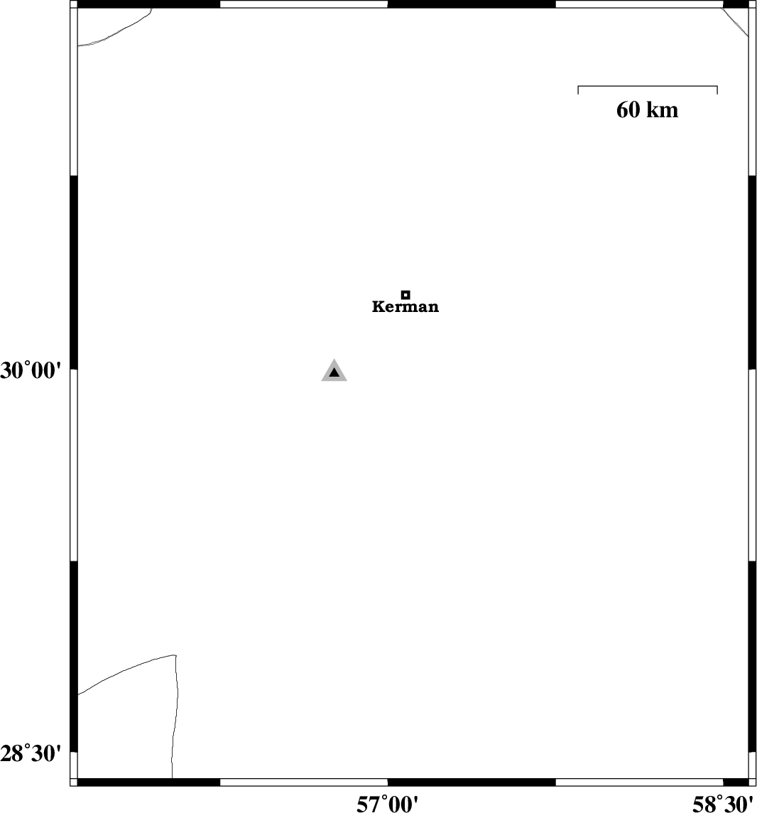
| 2016/07/22 | 02:44:47.2 | 07:14:47.2 | 29.895 | 57.112 | 14 | ML:2.8 | Kerman Province, 44 km South of Kerman | ||
| 2016/07/19 | 22:47:40.1 | 03:17:40.1 | 30.697 | 56.95 | 14 | ML:3 | Kerman Province, 39 km South-East of Zarand | ||
| 2016/07/19 | 14:46:20.1 | 19:16:20.1 | 31.334 | 57.365 | 14 | ML:2.1 | Kerman Province, 53 km -East of Ravar |