
| Prel. Rep. | Date | Time(UTC) | Time(Local) | Lat. | Lon. | Depth | Mag. | Region | Waveform |
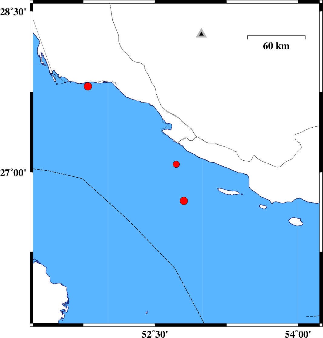
| 2015/11/29 | 09:37:12.6 | 13:07:12.6 | 27.073 | 52.723 | 18 | ML:3.1 | Persian Gulf, 55 km South-West of Mehr | ||
| 2015/11/25 | 10:28:03.7 | 13:58:03.7 | 27.802 | 51.797 | 35 | ML:3.6 | Persian Gulf, 26 km -West of Bandar-e kangan | ||
| 2015/11/22 | 03:11:07.2 | 06:41:07.2 | 26.73 | 52.802 | 17 | ML:3.6 | Persian Gulf, 91 km South of Mehr |