
| Prel. Rep. | Date | Time(UTC) | Time(Local) | Lat. | Lon. | Depth | Mag. | Region | Waveform |
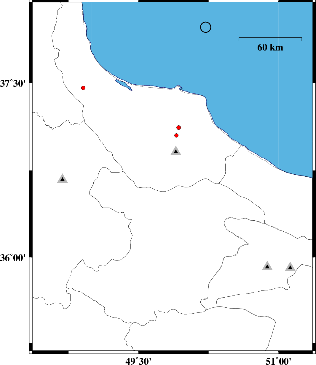
| 2015/10/03 | 15:26:18.2 | 18:56:18.2 | 36.685 | 49.863 | 14 | ML:2.6 | Gilan Province, 52 km South of Siahkal | ||
| 2015/10/03 | 02:08:45.5 | 05:38:45.5 | 35.768 | 49.246 | 14 | ML:1.8 | Ghazvin Province, 42 km South of Abhar | ||
| 2015/10/02 | 14:04:00.5 | 17:34:00.5 | 35.422 | 50.268 | 10 | ML:2 | Markazi Province, 45 km North of Saveh | ||
| 2015/10/02 | 04:07:35.1 | 07:37:35.1 | 37.43 | 48.893 | 14 | ML:2.6 | Gilan Province, 24 km -West of Masal | ||
| 2015/09/29 | 02:14:49.6 | 05:44:49.6 | 36.653 | 49.792 | 14 | ML:2.1 | Gilan Province, 38 km South-East of Rudbar | ||
| 2015/09/28 | 17:34:00.0 | 21:04:00.0 | 37.217 | 50.009 | 18 | ML:2.5 | Gilan Province, 2 km of Lahijan | ||
| 2015/09/28 | 14:19:07.5 | 17:49:07.5 | 35.353 | 50.244 | 14 | ML:1.8 | Markazi Province, 38 km North-West of Saveh | ||
| 2015/09/26 | 04:46:16.3 | 08:16:16.3 | 36.7 | 49.556 | 16 | ML:1.8 | Gilan Province, 18 km South-East of Rudbar |