
Magnitude |
:2.7 |
| Date & Time (UTC) | 2014-04-23 13:22:24.4 |
| Date & Time (Local) | 1393/2/3 17:52:24.4 |
| Location | Lat:35.19 Lon: 57.04 |
| Region | Khorasan(center) Province, 83 km West of Bardeskan |
Nearest Cities |
|
| 36 km North West of Tappeh taq, Yazd Province | |
| 51 km South East of Zamanabad, Semnan Province | |
| 81 km North West of Shahrabad, Khorasan(center) Province | |
| 83 km West of Bardeskan, Khorasan(center) Province | |
| 85 km South West of Bejdan, Khorasan(center) Province | |
| Depth | 16 km |
| Agency | |
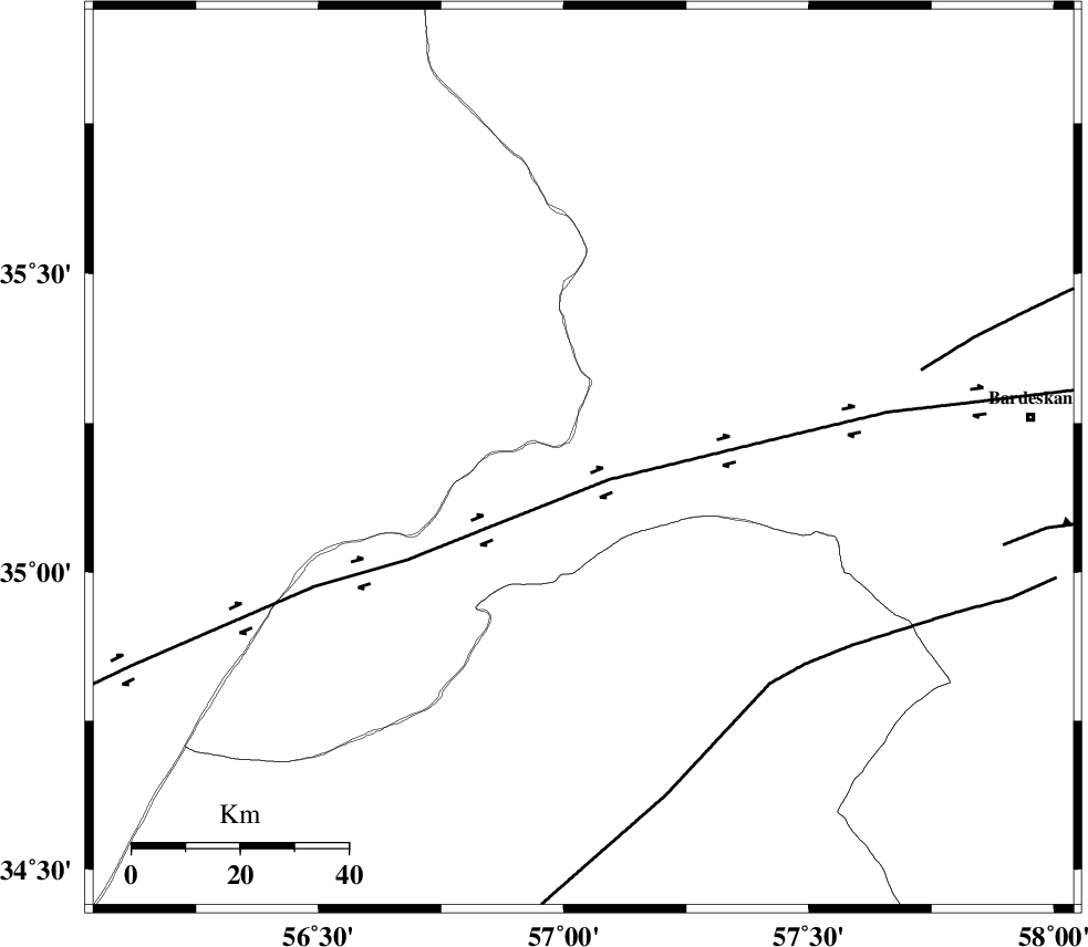
Faults within 150 km: |
|
| DORUNEH_F (Length: 713 km) , Distance to epicenter: 6 km | |
| NAINI_F (Length: 342 km) , Distance to epicenter: 54 km | |
| BIJVARD_F (Length: 83 km) , Distance to epicenter: 65 km | |
| Number of Phases | 6 |
| RMS | 0 |
| Number of Stations | 3 |
| Error in Latitude | >2.7 km |
| Error in Longitude | 7.2 km |
| Error in Depth | 8.4 km |
Download waveform in seisan format
to download seisan software Click here
to access information about IIEES stations Click here
Amplitude | ||||||||
| UID | Agency | Station | Component | Amplitude | Period | Arrival Time | Proccessing Time | Signal Clip |
| 92257 | IIEES | TABS | E | 77.1 | 0.68 | 2014-04-23 13:23:18 | 2014-04-23 03:00:00 | n |
| 92258 | IIEES | TABS | N | 97.4 | 0.4 | 2014-04-23 13:23:19 | 2014-04-23 03:00:00 | n |
Phase | ||||||||||||
| Agency | Station | Component | Phase Type | Phase Quality | First Motion | Observed Arrival Time | Time Residual | Loc. Flag | Input Weight | Distance | Azimuth | |
| IIEES | SHRO | E | Pg | E | 2014-04-23 13:22:46 | 0.06 | y | 130 | 315 | |||
| IIEES | SHRO | E | Sg | E | 2014-04-23 13:23:02 | -0.03 | y | 130 | 315 | |||
| IIEES | TABS | Z | Pg | E | 2014-04-23 13:22:52 | -0.02 | y | 171 | 178 | |||
| IIEES | TABS | N | Sg | E | 2014-04-23 13:23:13 | 0.01 | y | 171 | 178 | |||
| IIEES | SHRT | Z | Pn | E | 2014-04-23 13:23:14 | -0.04 | y | 345 | 119 | |||
| IIEES | SHRT | E | S | E | 2014-04-23 13:23:51 | 0.02 | y | 345 | 119 | |||