
Magnitude |
:2.8 |
| Date & Time (UTC) | 2012-12-21 22:58:46.2 |
| Date & Time (Local) | 1391/10/2 02:28:46.2 |
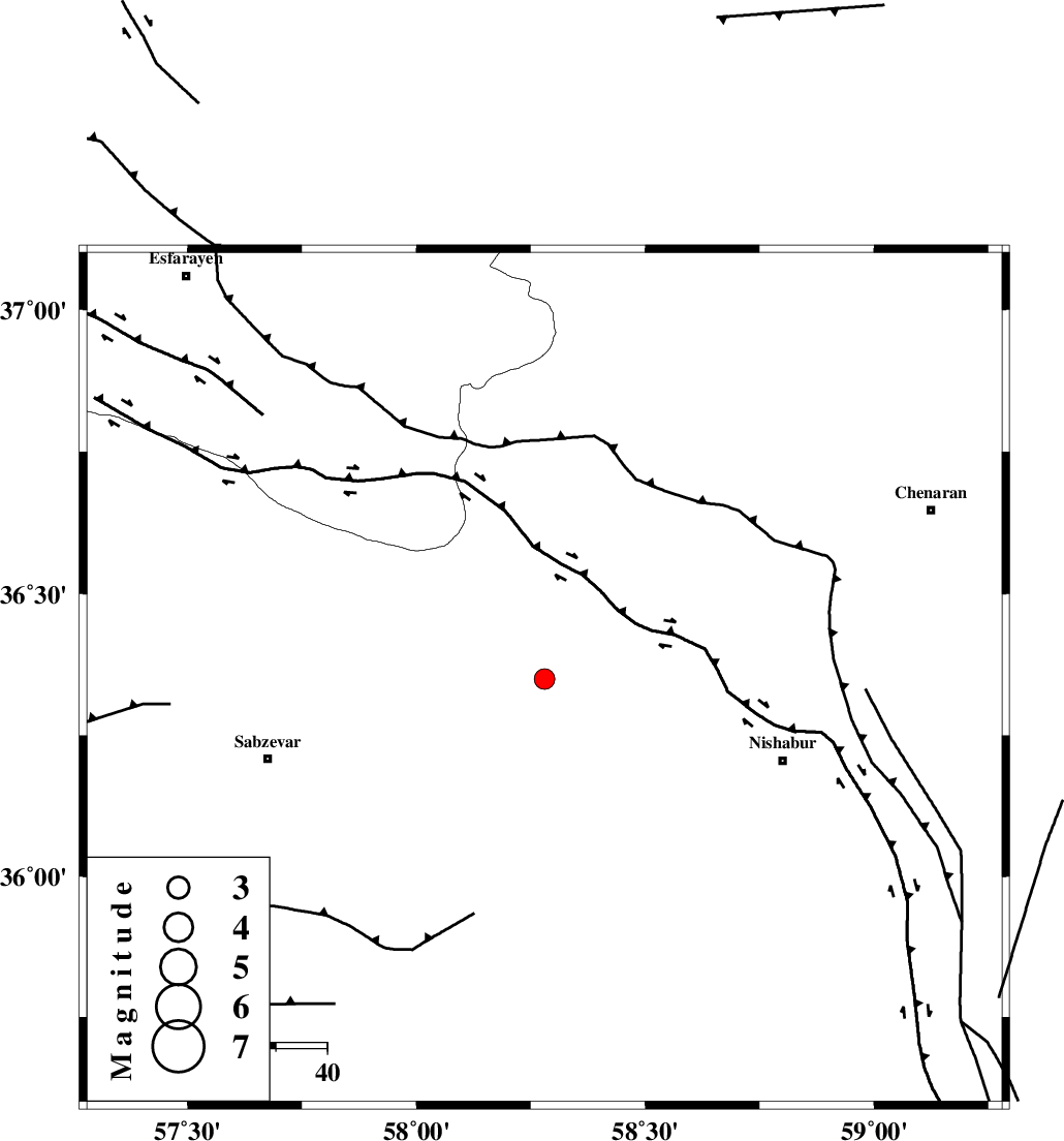
| Location | Lat:36.35 Lon: 58.28 |
| Region | Khorasan(center) Province, 49 km North-West of Neyshabur |
Nearest Cities |
|
| 17 km North West of Hemmatabad, Khorasan(center) Province | |
| 19 km East of Soltanabad, Khorasan(center) Province | |
| 27 km South East of Rebatjaz, Khorasan(center) Province | |
| 28 km North West of Bozgan, Khorasan(center) Province | |
| 29 km West of Qalibaf, Khorasan(center) Province | |
| Depth | 15 km |
| Agency | |
Faults within 150 km: |
|
| RIVAND_F (Length: 70 km) , Distance to epicenter: 17 km | |
| NAYSHABUR_F (Length: 74 km) , Distance to epicenter: 17 km | |
| BINALUD_F1 (Length: 129 km) , Distance to epicenter: 39 km | |
| Number of Phases | 4 |
| RMS | 0.5 |
| Number of Stations | 4 |
| Error in Latitude | >8 km |
| Error in Longitude | 4.4 km |
| Error in Depth | 0 km |
Download waveform in seisan format
to download seisan software Click here
to access information about IIEES stations Click here
Amplitude | ||||||||
| UID | Agency | Station | Component | Amplitude | Period | Arrival Time | Proccessing Time | Signal Clip |
| 87382 | IIEES | SHRO | E | 91.4 | 0.68 | 2012-12-21 22:59:51 | 2012-12-21 11:33:00 | n |
| 87383 | IIEES | SHRO | N | 80.5 | 0.52 | 2012-12-21 22:59:53 | 2012-12-21 11:33:00 | n |
| 87384 | IIEES | MRVT | E | 43.7 | 0.48 | 2012-12-21 23:00:03 | 2012-12-21 11:33:00 | n |
Phase | ||||||||||||
| Agency | Station | Component | Phase Type | Phase Quality | First Motion | Observed Arrival Time | Time Residual | Loc. Flag | Input Weight | Distance | Azimuth | |
| IIEES | SHRO | Z | Pn | E | 2012-12-21 22:59:19 | -0.55 | y | 208 | 260 | |||
| IIEES | MRVT | Z | Pn | E | 2012-12-21 22:59:24 | 0.29 | y | 243 | 307 | |||
| IIEES | TABS | Z | Pn | E | 2012-12-21 22:59:34 | 0.58 | y | 318 | 200 | |||
| IIEES | SHRT | Z | Pn | E | 2012-12-21 22:59:37 | -0.3 | y | 352 | 148 | |||