
Magnitude |
:3.1 |
| Date & Time (UTC) | 2010-09-29 09:51:58.7 |
| Date & Time (Local) | 1389/7/7 13:21:58.7 |
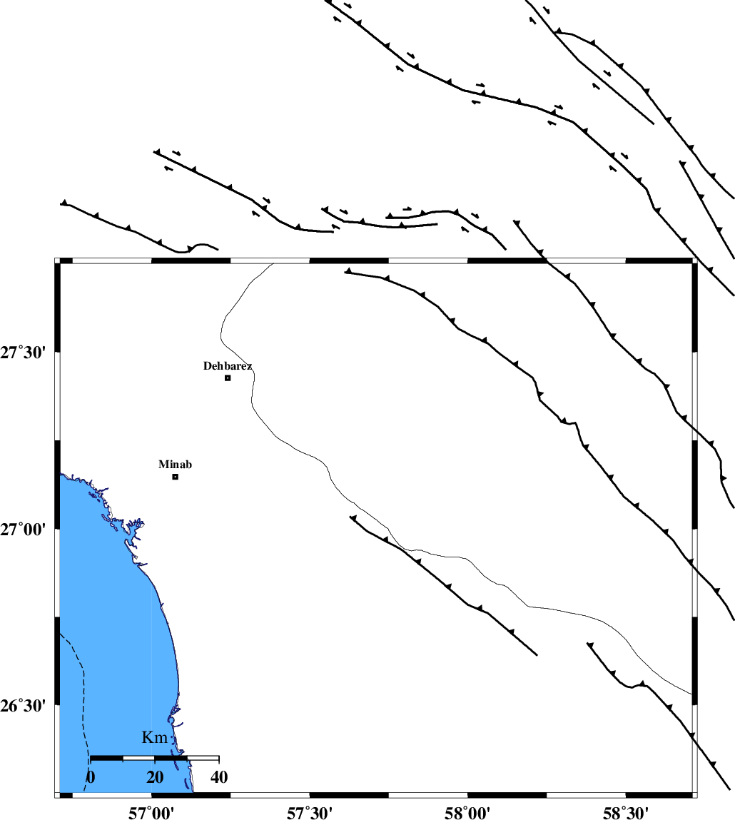
| Location | Lat:27 Lon: 57.71 |
| Region | Hormozgan Province, 51 km South-East of Manujan |
Nearest Cities |
|
| 24 km South West of Keshmiran, Kerman Province | |
| 34 km North East of Sanadrak, Hormozgan Province | |
| 42 km North East of Darpahn, Hormozgan Province | |
| 49 km North West of Angahran, Hormozgan Province | |
| 49 km North East of Koryan, Hormozgan Province | |
| Depth | 15 km |
| Agency | |
Faults within 150 km: |
|
| SABZEVARAN_F (Length: 190 km) , Distance to epicenter: 32 km | |
| JIROFT_F (Length: 144 km) , Distance to epicenter: 39 km | |
| ZENDAN_MINAB_F_Z1 (Length: 183 km) , Distance to epicenter: 45 km | |
| Number of Phases | 4 |
| RMS | 0 |
| Number of Stations | 3 |
| Error in Latitude | >2.5 km |
| Error in Longitude | 4.5 km |
| Error in Depth | 7.1 km |
Download waveform in seisan format
to download seisan software Click here
to access information about IIEES stations Click here
Amplitude | ||||||||
| UID | Agency | Station | Component | Amplitude | Period | Arrival Time | Proccessing Time | Signal Clip |
| 71230 | IIEES | BNDS | N | 269.5 | 0.47 | 2010-09-29 09:52:59 | 2010-09-29 10:07:00 | n |
| 71231 | IIEES | KRBR | N | 50.4 | 0.83 | 2010-09-29 09:53:46 | 2010-09-29 10:07:00 | n |
Phase | ||||||||||||
| Agency | Station | Component | Phase Type | Phase Quality | First Motion | Observed Arrival Time | Time Residual | Loc. Flag | Input Weight | Distance | Azimuth | |
| IIEES | BNDS | Z | Pg | E | 2010-09-29 09:52:25 | 0 | y | 159 | 287 | |||
| IIEES | KRBR | Z | Pn | E | 2010-09-29 09:52:49 | 0 | y | 344 | 345 | |||
| IIEES | KRBR | N | Sg | E | 2010-09-29 09:53:35 | 0 | y | 344 | 345 | |||
| IIEES | ZHSF | Z | Pn | E | 2010-09-29 09:52:58 | 0 | y | 418 | 45 | |||