
Magnitude |
:2.8 |
| Date & Time (UTC) | 2010-09-25 19:12:56.8 |
| Date & Time (Local) | 1389/7/3 22:42:56.8 |
| Location | Lat:29.05 Lon: 56.69 |
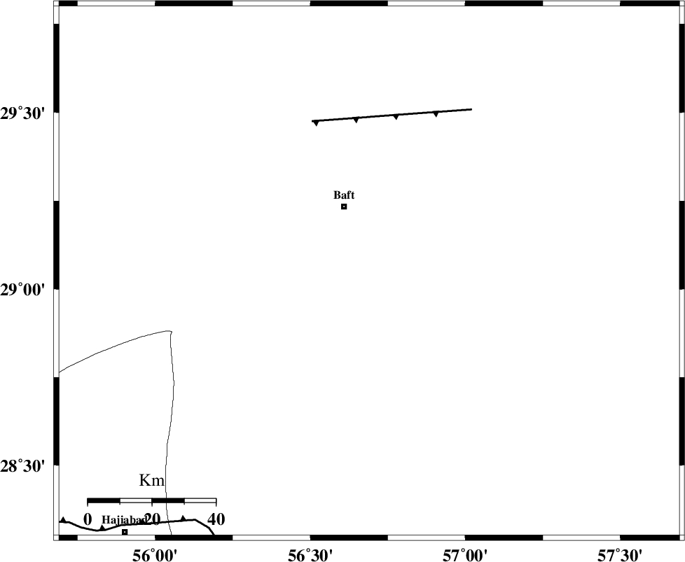
| Region | Kerman Province, 22 km South of Baft |
Nearest Cities |
|
| 12 km North of Kashkueyeh, Kerman Province | |
| 22 km South of Baft, Kerman Province | |
| 23 km South of Bezanjan, Kerman Province | |
| 32 km South West of Askar, Kerman Province | |
| 34 km South West of Rabar, Kerman Province | |
| Depth | 15 km |
| Agency | |
Faults within 150 km: |
|
| LALEHZAR_F (Length: 52 km) , Distance to epicenter: 51 km | |
| MAIN_ZAGROS_R_F (Length: 1106 km) , Distance to epicenter: 95 km | |
| RAFSANJAN_F (Length: 129 km) , Distance to epicenter: 101 km | |
| Number of Phases | 3 |
| RMS | 0 |
| Number of Stations | 3 |
| Error in Latitude | >1.6 km |
| Error in Longitude | 4.4 km |
| Error in Depth | 0 km |
Download waveform in seisan format
to download seisan software Click here
to access information about IIEES stations Click here
Amplitude | ||||||||
| UID | Agency | Station | Component | Amplitude | Period | Arrival Time | Proccessing Time | Signal Clip |
| 70930 | IIEES | KRBR | N | 239.5 | 0.22 | 2010-09-25 19:13:29 | 2010-09-25 07:45:00 | n |
| 70931 | IIEES | BNDS | N | 83.8 | 0.8 | 2010-09-25 19:13:54 | 2010-09-25 07:45:00 | n |
| 70932 | IIEES | BNDS | E | 68.5 | 0.91 | 2010-09-25 19:13:55 | 2010-09-25 07:45:00 | n |
| 70933 | IIEES | GHIR | N | 21.2 | 0.45 | 2010-09-25 19:14:34 | 2010-09-25 07:45:00 | n |
| 70934 | IIEES | GHIR | E | 26.2 | 0.45 | 2010-09-25 19:14:36 | 2010-09-25 07:45:00 | n |
Phase | ||||||||||||
| Agency | Station | Component | Phase Type | Phase Quality | First Motion | Observed Arrival Time | Time Residual | Loc. Flag | Input Weight | Distance | Azimuth | |
| IIEES | KRBR | Z | Pg | E | 2010-09-25 19:13:14 | 0 | y | 104 | 4 | |||
| IIEES | BNDS | Z | Pg | E | 2010-09-25 19:13:28 | 0 | y | 190 | 196 | |||
| IIEES | GHIR | Z | Pn | E | 2010-09-25 19:13:50 | 0 | y | 372 | 258 | |||