
Magnitude |
:3.5 |
| Date & Time (UTC) | 2010-07-11 05:25:47.8 |
| Date & Time (Local) | 1389/4/20 09:55:47.8 |
| Location | Lat:28.47 Lon: 57.48 |
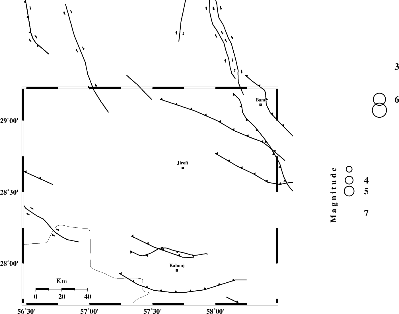
| Region | Kerman Province, 34 km South-West of Jiroft |
Nearest Cities |
|
| 25 km South West of Khatunabad-e zangian, Kerman Province | |
| 29 km North of Bolock, Kerman Province | |
| 34 km South West of Jiroft, Kerman Province | |
| 35 km North East of Hurpasefid, Kerman Province | |
| 35 km West of Khesrabad, Kerman Province | |
| Depth | 14 km |
| Agency | |
Faults within 150 km: |
|
| SABZEVARAN_F (Length: 190 km) , Distance to epicenter: 25 km | |
| JIROFT_F (Length: 144 km) , Distance to epicenter: 55 km | |
| GOWK_F (Length: 152 km) , Distance to epicenter: 73 km | |
| Number of Phases | 5 |
| RMS | 0.2 |
| Number of Stations | 3 |
| Error in Latitude | >2.5 km |
| Error in Longitude | 9.9 km |
| Error in Depth | 7.6 km |
Download waveform in seisan format
to download seisan software Click here
to access information about IIEES stations Click here
Amplitude | ||||||||
| UID | Agency | Station | Component | Amplitude | Period | Arrival Time | Proccessing Time | Signal Clip |
| 65901 | IIEES | BNDS | E | 409.2 | 0.37 | 2010-07-11 05:26:39 | 2010-07-14 10:36:00 | n |
| 65902 | IIEES | BNDS | N | 631.3 | 0.29 | 2010-07-11 05:26:41 | 2010-07-14 10:36:00 | n |
| 65903 | IIEES | KRBR | N | 510.4 | 0.31 | 2010-07-11 05:26:41 | 2010-07-14 10:36:00 | n |
| 65904 | IIEES | GHIR | E | 82 | 0.19 | 2010-07-11 05:27:34 | 2010-07-14 10:36:00 | n |
Phase | ||||||||||||
| Agency | Station | Component | Phase Type | Phase Quality | First Motion | Observed Arrival Time | Time Residual | Loc. Flag | Input Weight | Distance | Azimuth | |
| IIEES | BNDS | Z | Pg | E | 2010-07-11 05:26:16 | -0.1 | y | 175 | 228 | |||
| IIEES | BNDS | E | Sg | E | 2010-07-11 05:26:37 | 0 | y | 175 | 228 | |||
| IIEES | KRBR | Z | Pg | E | 2010-07-11 05:26:17 | 0 | y | 182 | 338 | |||
| IIEES | KRBR | N | Sg | E | 2010-07-11 05:26:39 | -0.1 | y | 182 | 338 | |||
| IIEES | GHIR | Z | Pn | E | 2010-07-11 05:26:50 | 0.4 | y | 441 | 268 | |||