
Magnitude |
:3 |
| Date & Time (UTC) | 2010-05-24 10:28:01.8 |
| Date & Time (Local) | 1389/3/3 14:58:01.8 |
| Location | Lat:35.84 Lon: 53.37 |
| Region | Semnan Province, 31 km North of Semnan |
Nearest Cities |
|
| 9 km North of Shahmirzad, Semnan Province | |
| 11 km East of Chashem, Semnan Province | |
| 15 km North of Mehdishahr, Semnan Province | |
| 28 km South East of Sangdeh, Mazandaran Province | |
| 30 km North of Semnan, Semnan Province | |
| Depth | 14 km |
| Agency | |
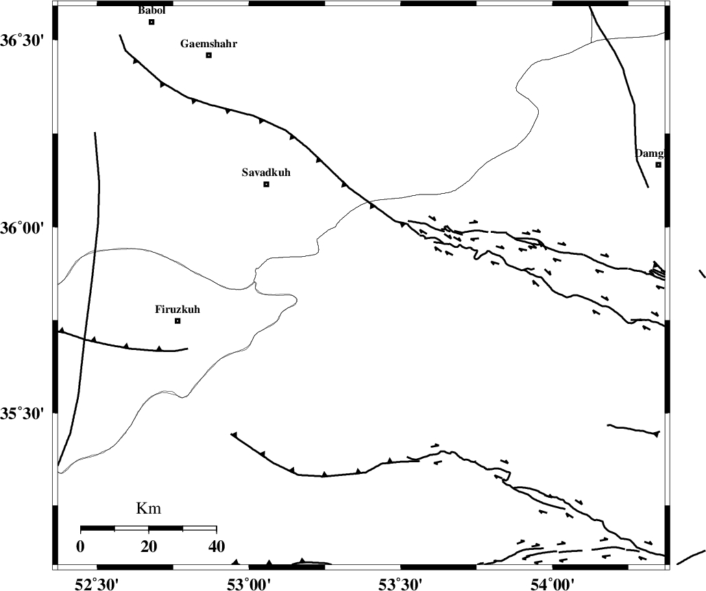
Faults within 150 km: |
|
| ATARI_F (Length: 185 km) , Distance to epicenter: 13 km | |
| N_ALBORZ_F (Length: 360 km) , Distance to epicenter: 45 km | |
| DAMGHAN_F (Length: 95 km) , Distance to epicenter: 54 km | |
| Number of Phases | 6 |
| RMS | 0.2 |
| Number of Stations | 5 |
| Error in Latitude | >6.6 km |
| Error in Longitude | 4.2 km |
| Error in Depth | 7.3 km |
Download waveform in seisan format
to download seisan software Click here
to access information about IIEES stations Click here
Amplitude | ||||||||
| UID | Agency | Station | Component | Amplitude | Period | Arrival Time | Proccessing Time | Signal Clip |
| 62910 | IIEES | GHVR | N | 93.1 | 0.77 | 2010-05-24 10:29:23 | 2010-05-24 10:52:00 | n |
| 62911 | IIEES | GHVR | E | 178.3 | 0.44 | 2010-05-24 10:29:25 | 2010-05-24 10:52:00 | n |
| 62912 | IIEES | MRVT | E | 27.8 | 0.3 | 2010-05-24 10:29:30 | 2010-05-24 10:52:00 | n |
Phase | ||||||||||||
| Agency | Station | Component | Phase Type | Phase Quality | First Motion | Observed Arrival Time | Time Residual | Loc. Flag | Input Weight | Distance | Azimuth | |
| IIEES | DAMV | Z | Pg | E | 2010-05-24 10:28:23 | -0.1 | y | 128 | 260 | |||
| IIEES | DAMV | N | Sg | E | 2010-05-24 10:28:39 | -0.1 | y | 128 | 260 | |||
| IIEES | GHVR | Z | Pg | E | 2010-05-24 10:28:41 | 0 | y | 245 | 233 | |||
| IIEES | MRVT | Z | Pn | E | 2010-05-24 10:28:48 | -0.2 | y | 316 | 50 | |||
| IIEES | ASAO | Z | Pn | E | 2010-05-24 10:28:51 | 0.3 | y | 336 | 246 | |||
| IIEES | ZNJK | Z | Pn | E | 2010-05-24 10:29:03 | 0.3 | y | 431 | 284 | |||