
Magnitude |
:2.7 |
| Date & Time (UTC) | 2010-04-26 19:54:43.8 |
| Date & Time (Local) | 1389/2/7 00:24:43.8 |
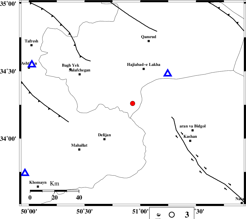
| Location | Lat:34.26 Lon: 50.93 |
| Region | Qom Province, 44 km South of Qom |
Nearest Cities |
|
| 9 km North of Yahyaabad, Esfahan Province | |
| 14 km South of Kahak, Qom Province | |
| 20 km North East of Vasqonqan, Markazi Province | |
| 21 km North West of Armak, Esfahan Province | |
| 22 km North of Joshaq, Markazi Province | |
| Depth | 17 km |
| Agency | |
Faults within 150 km: |
|
| KASHAN_F (Length: 44 km) , Distance to epicenter: 34 km | |
| INDES_F (Length: 98 km) , Distance to epicenter: 49 km | |
| TAFRESH_F (Length: 117 km) , Distance to epicenter: 55 km | |
| Number of Phases | 5 |
| RMS | 0.4 |
| Number of Stations | 5 |
| Error in Latitude | >6.4 km |
| Error in Longitude | 8.3 km |
| Error in Depth | 9.3 km |
Download waveform in seisan format
to download seisan software Click here
to access information about IIEES stations Click here
Amplitude | ||||||||
| UID | Agency | Station | Component | Amplitude | Period | Arrival Time | Proccessing Time | Signal Clip |
| 61070 | IIEES | DAMV | N | 84.9 | 0.12 | 2010-04-26 19:55:35 | 2010-04-26 08:09:00 | n |
| 61071 | IIEES | DAMV | E | 78.7 | 0.08 | 2010-04-26 19:55:36 | 2010-04-26 08:09:00 | n |
| 61072 | IIEES | NASN | E | 55.9 | 0.2 | 2010-04-26 19:55:50 | 2010-04-26 08:09:00 | n |
| 61073 | IIEES | NASN | N | 33.5 | 0.32 | 2010-04-26 19:55:50 | 2010-04-26 08:09:00 | n |
Phase | ||||||||||||
| Agency | Station | Component | Phase Type | Phase Quality | First Motion | Observed Arrival Time | Time Residual | Loc. Flag | Input Weight | Distance | Azimuth | |
| IIEES | GHVR | Z | Pg | E | 2010-04-26 19:54:51 | 0.1 | y | 38.5 | 50 | |||
| IIEES | KHMZ | Z | Pg | E | 2010-04-26 19:55:01 | -0.1 | y | 106 | 237 | |||
| IIEES | DAMV | Z | Pn | E | 2010-04-26 19:55:13 | -0.6 | y | 180 | 32 | |||
| IIEES | CHTH | Z | Pn | E | 2010-04-26 19:55:14 | 0.5 | y | 184 | 6 | |||
| IIEES | NASN | Z | Pn | E | 2010-04-26 19:55:21 | 0.1 | y | 238 | 132 | |||