
Magnitude |
:3.5 |
| Date & Time (UTC) | 2007-06-30 04:49:25.5 |
| Date & Time (Local) | 1386/4/9 08:19:25.5 |
| Location | Lat:34.64 Lon: 50.9 |
| Region | 3 km Qom, Qom Province |
Nearest Cities |
|
| 3 km of Qom, Qom Province | |
| 18 km North West of Hajiabad-e lakha, Qom Province | |
| 18 km West of Qamrud, Qom Province | |
| 29 km North of Kahak, Qom Province | |
| 37 km South East of Gazran, Qom Province | |
| Depth | 14 km |
| Agency | |
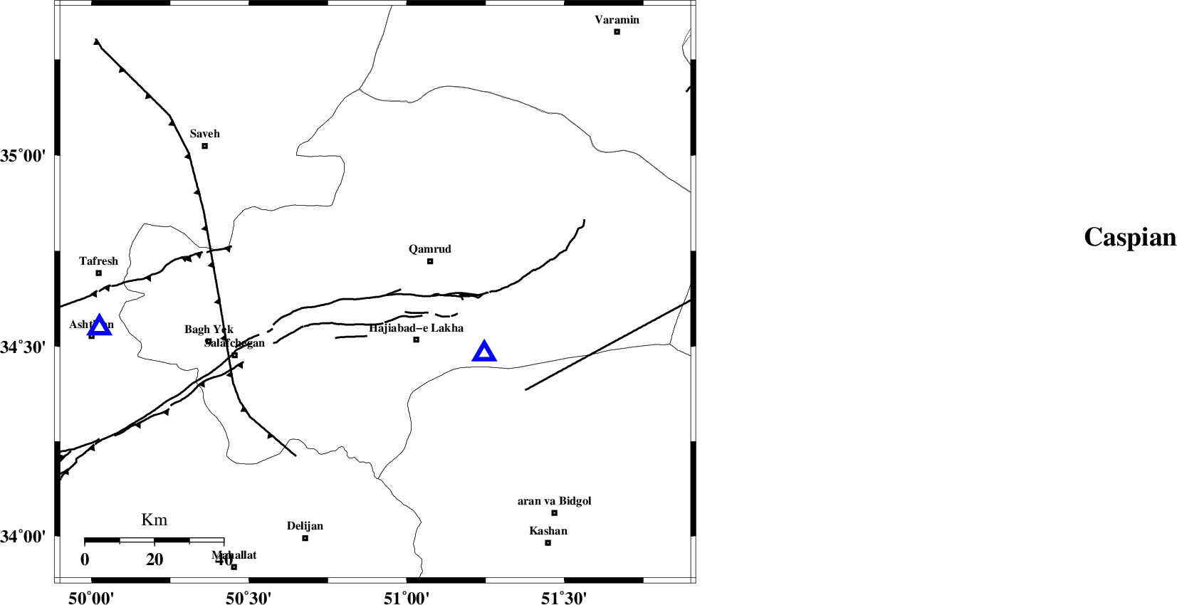
Faults within 150 km: |
|
| KUSHK_E_NOSRAT_F (Length: 230 km) , Distance to epicenter: 26 km | |
| INDES_F (Length: 98 km) , Distance to epicenter: 33 km | |
| SIAHKUH_F (Length: 154 km) , Distance to epicenter: 59 km | |
| Number of Phases | 8 |
| RMS | 0.4 |
| Number of Stations | 6 |
| Error in Latitude | >4.7 km |
| Error in Longitude | 8.7 km |
| Error in Depth | 12.3 km |
Download waveform in seisan format
to download seisan software Click here
to access information about IIEES stations Click here
Amplitude | ||||||||
| UID | Agency | Station | Component | Amplitude | Period | Arrival Time | Proccessing Time | Signal Clip |
| 38728 | IIEES | GHVR | N | 5808 | 0.19 | 2007-06-30 04:49:40 | 2007-07-30 02:44:00 | n |
| 38729 | IIEES | GHVR | E | 5066.8 | 0.2 | 2007-06-30 04:49:40 | 2007-07-30 02:44:00 | n |
| 38730 | IIEES | THKV | E | 715.2 | 0.28 | 2007-06-30 04:50:13 | 2007-07-30 02:44:00 | n |
| 38731 | IIEES | CHTH | E | 593.9 | 0.28 | 2007-06-30 04:50:12 | 2007-07-30 02:44:00 | n |
| 38732 | IIEES | DAMV | N | 802.5 | 0.28 | 2007-06-30 04:50:11 | 2007-07-30 02:44:00 | n |
| 38733 | IIEES | DAMV | E | 872.3 | 0.24 | 2007-06-30 04:50:12 | 2007-07-30 02:44:00 | n |
Phase | ||||||||||||
| Agency | Station | Component | Phase Type | Phase Quality | First Motion | Observed Arrival Time | Time Residual | Loc. Flag | Input Weight | Distance | Azimuth | |
| IIEES | GHVR | Z | Pg | E | 2007-06-30 04:49:32 | 0.3 | y | 36.1 | 119 | |||
| IIEES | THKV | Z | Pg | E | 2007-06-30 04:49:49 | -0.3 | y | 142 | 359 | |||
| IIEES | CHTH | Z | Pg | E | 2007-06-30 04:49:49 | -0.5 | y | 143 | 8 | |||
| IIEES | CHTH | E | Sg | E | 2007-06-30 04:50:08 | -0.1 | y | 143 | 8 | |||
| IIEES | DAMV | Z | Pg | E | 2007-06-30 04:49:50 | -0.1 | y | 147 | 41 | |||
| IIEES | DAMV | N | Sg | E | 2007-06-30 04:50:10 | 0.5 | y | 147 | 41 | |||
| IIEES | NASN | Z | Pn | E | 2007-06-30 04:50:06 | -0.5 | y | 270 | 139 | |||
| IIEES | SNGE | Z | Pn | E | 2007-06-30 04:50:14 | 0.7 | y | 329 | 280 | |||