
Magnitude |
:3.4 |
| Date & Time (UTC) | 2006-11-16 18:01:19.5 |
| Date & Time (Local) | 1385/8/25 21:31:19.5 |
| Location | Lat:26.89 Lon: 57.74 |
| Region | 62 km South-East of Manujan, Kerman Province |
Nearest Cities |
|
| 30 km South West of Keshmiran, Kerman Province | |
| 32 km North East of Sanadrak, Hormozgan Province | |
| 32 km North East of Darpahn, Hormozgan Province | |
| 36 km North West of Angahran, Hormozgan Province | |
| 52 km East of Koryan, Hormozgan Province | |
| Depth | 14 km |
| Agency | |
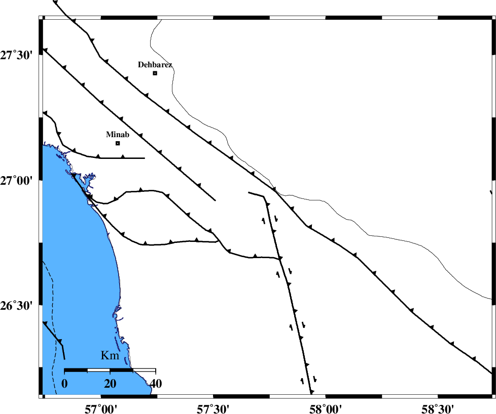
Faults within 150 km: |
|
| SABZEVARAN_F (Length: 190 km) , Distance to epicenter: 38 km | |
| ZENDAN_MINAB_F_Z2 (Length: 63 km) , Distance to epicenter: 46 km | |
| JIROFT_F (Length: 144 km) , Distance to epicenter: 47 km | |
| Number of Phases | 4 |
| RMS | 0.1 |
| Number of Stations | 3 |
| Error in Latitude | >3.2 km |
| Error in Longitude | 5.6 km |
| Error in Depth | 8.9 km |
Download waveform in seisan format
to download seisan software Click here
to access information about IIEES stations Click here
Amplitude | ||||||||
| UID | Agency | Station | Component | Amplitude | Period | Arrival Time | Proccessing Time | Signal Clip |
| 36699 | IIEES | BNDS | N | 591.1 | 0.68 | 2006-11-16 18:02:22 | 2007-01-07 07:24:00 | n |
| 36700 | IIEES | KRBR | E | 99.7 | 0.76 | 2006-11-16 18:03:13 | 2007-01-07 07:24:00 | n |
| 36701 | IIEES | KRBR | N | 111.2 | 0.6 | 2006-11-16 18:03:23 | 2007-01-07 07:24:00 | n |
Phase | ||||||||||||
| Agency | Station | Component | Phase Type | Phase Quality | First Motion | Observed Arrival Time | Time Residual | Loc. Flag | Input Weight | Distance | Azimuth | |
| IIEES | BNDS | Z | Pg | E | 2006-11-16 18:01:46 | 0 | y | 165 | 290 | |||
| IIEES | KRBR | Z | Pn | E | 2006-11-16 18:02:11 | 0.1 | y | 356 | 345 | |||
| IIEES | KRBR | E | Sg | E | 2006-11-16 18:02:59 | 0 | y | 356 | 345 | |||
| IIEES | ZHSF | Z | Pn | E | 2006-11-16 18:02:19 | -0.1 | y | 424 | 44 | |||