
Magnitude |
:3.7 |
| Date & Time (UTC) | 2006-11-07 12:33:08.0 |
| Date & Time (Local) | 1385/8/16 16:03:08.0 |
| Location | Lat:27.99 Lon: 58.1 |
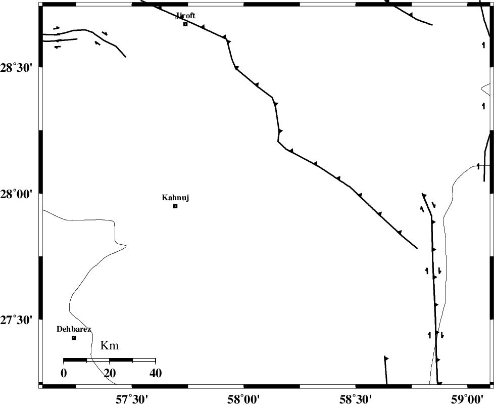
| Region | 40 km East of Kahnuj, Kerman Province |
Nearest Cities |
|
| 40 km North East of Kahnuj, Kerman Province | |
| 41 km South of Mardehak, Kerman Province | |
| 41 km West of Borj-e abbasabad, Kerman Province | |
| 50 km South East of Dosari, Kerman Province | |
| 55 km South East of Aliabad-e qadiri, Kerman Province | |
| Depth | 14 km |
| Agency | |
Faults within 150 km: |
|
| JIROFT_F (Length: 144 km) , Distance to epicenter: 30 km | |
| SABZEVARAN_F (Length: 190 km) , Distance to epicenter: 40 km | |
| BAM_F (Length: 118 km) , Distance to epicenter: 74 km | |
| Number of Phases | 6 |
| RMS | 0.4 |
| Number of Stations | 5 |
| Error in Latitude | >4 km |
| Error in Longitude | 16.3 km |
| Error in Depth | 0 km |
Download waveform in seisan format
to download seisan software Click here
to access information about IIEES stations Click here
Amplitude | ||||||||
| UID | Agency | Station | Component | Amplitude | Period | Arrival Time | Proccessing Time | Signal Clip |
| 36604 | IIEES | BNDS | E | 407.9 | 0.15 | 2006-11-07 12:33:52 | 2007-01-07 07:24:00 | n |
| 36605 | IIEES | GHIR | E | 81.9 | 0.57 | 2006-11-07 12:34:56 | 2007-01-07 07:24:00 | n |
| 36606 | IIEES | GHIR | N | 91.7 | 0.72 | 2006-11-07 12:34:57 | 2007-01-07 07:24:00 | n |
Phase | ||||||||||||
| Agency | Station | Component | Phase Type | Phase Quality | First Motion | Observed Arrival Time | Time Residual | Loc. Flag | Input Weight | Distance | Azimuth | |
| IIEES | BNDS | Z | Pg | E | 2006-11-07 12:33:40 | -0.3 | y | 201 | 252 | |||
| IIEES | KRBR | Z | Pg | E | 2006-11-07 12:33:49 | -0.2 | y | 257 | 330 | |||
| IIEES | KRBR | N | Sg | E | 2006-11-07 12:34:20 | 0 | y | 257 | 330 | |||
| IIEES | GHIR | Z | Pn | E | 2006-11-07 12:34:19 | 0.8 | y | 503 | 275 | |||
| IIEES | NASN | Z | Pn | E | 2006-11-07 12:34:47 | 0 | y | 737 | 318 | |||
| IIEES | ASAO | Z | Pn | E | 2006-11-07 12:35:27 | 0.1 | y | 1058 | 315 | |||