
Magnitude |
:3.4 |
| Date & Time (UTC) | 2006-11-02 09:18:59.7 |
| Date & Time (Local) | 1385/8/11 12:48:59.7 |
| Location | Lat:28.46 Lon: 57.54 |
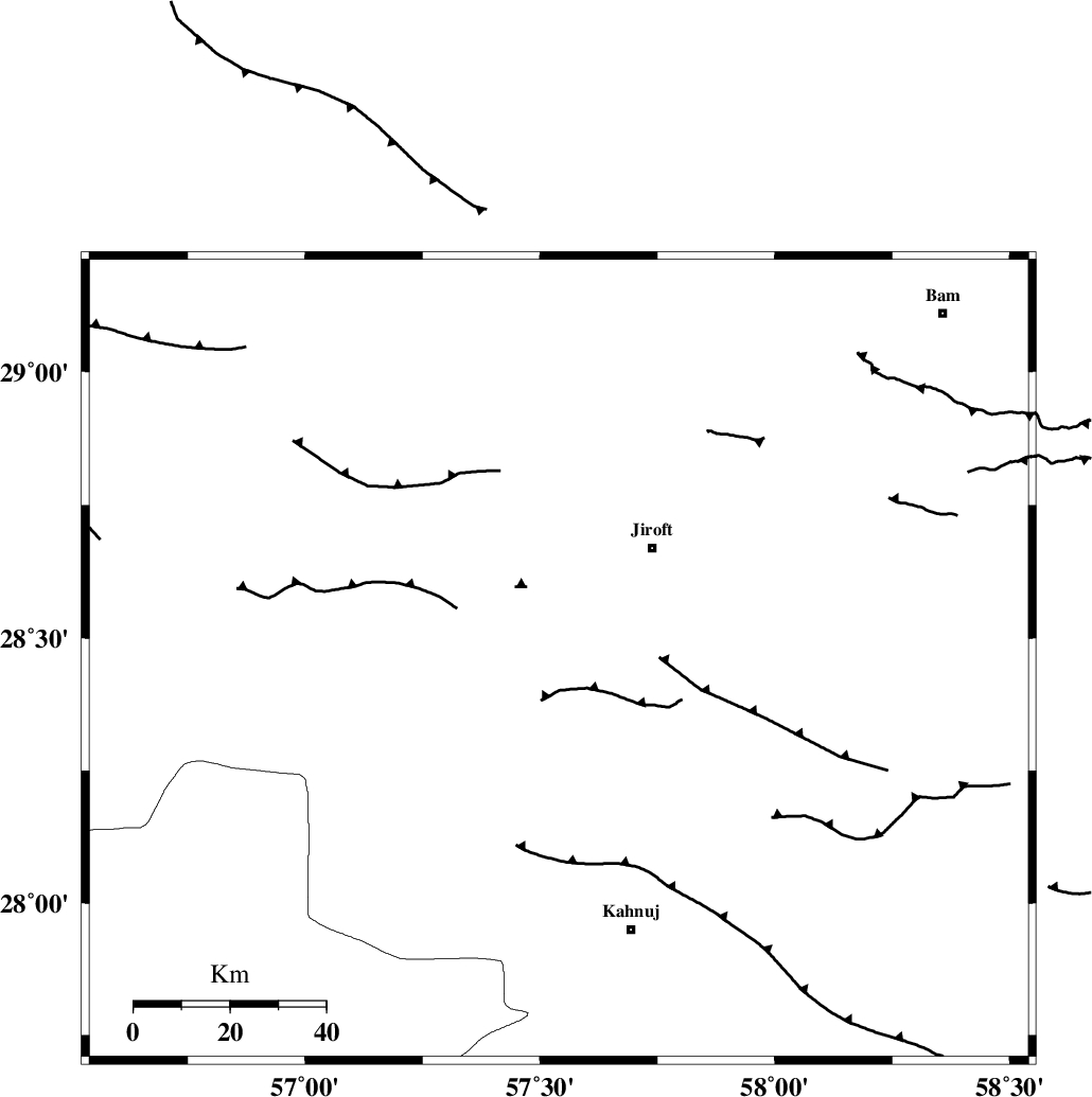
| Region | 30 km South-West of Jiroft, Kerman Province |
Nearest Cities |
|
| 21 km South West of Khatunabad-e zangian, Kerman Province | |
| 27 km North of Bolock, Kerman Province | |
| 29 km West of Khesrabad, Kerman Province | |
| 30 km South West of Jiroft, Kerman Province | |
| 31 km South West of Dolatabad, Kerman Province | |
| Depth | 27 km |
| Agency | |
Faults within 150 km: |
|
| SABZEVARAN_F (Length: 190 km) , Distance to epicenter: 19 km | |
| JIROFT_F (Length: 144 km) , Distance to epicenter: 52 km | |
| GOWK_F (Length: 152 km) , Distance to epicenter: 70 km | |
| Number of Phases | 5 |
| RMS | 0.1 |
| Number of Stations | 3 |
| Error in Latitude | >2.1 km |
| Error in Longitude | 8.2 km |
| Error in Depth | 6 km |
Download waveform in seisan format
to download seisan software Click here
to access information about IIEES stations Click here
Amplitude | ||||||||
| UID | Agency | Station | Component | Amplitude | Period | Arrival Time | Proccessing Time | Signal Clip |
| 36511 | IIEES | BNDS | N | 569.1 | 0.3 | 2006-11-02 09:19:55 | 2007-01-07 07:24:00 | n |
| 36512 | IIEES | KRBR | E | 369.7 | 0.23 | 2006-11-02 09:19:52 | 2007-01-07 07:24:00 | n |
| 36513 | IIEES | GHIR | E | 46.1 | 0.17 | 2006-11-02 09:20:50 | 2007-01-07 07:24:00 | n |
| 36514 | IIEES | GHIR | N | 41.4 | 0.21 | 2006-11-02 09:20:50 | 2007-01-07 07:24:00 | n |
Phase | ||||||||||||
| Agency | Station | Component | Phase Type | Phase Quality | First Motion | Observed Arrival Time | Time Residual | Loc. Flag | Input Weight | Distance | Azimuth | |
| IIEES | BNDS | Z | Pg | E | 2006-11-02 09:19:28 | -0.2 | y | 179 | 229 | |||
| IIEES | BNDS | E | Sg | E | 2006-11-02 09:19:50 | 0.1 | y | 179 | 229 | |||
| IIEES | KRBR | Z | Pg | E | 2006-11-02 09:19:29 | 0.2 | y | 185 | 336 | |||
| IIEES | KRBR | E | Sg | E | 2006-11-02 09:19:51 | -0.1 | y | 185 | 336 | |||
| IIEES | GHIR | Z | Pn | E | 2006-11-02 09:20:01 | 0 | y | 447 | 269 | |||