
Magnitude |
:2.9 |
| Date & Time (UTC) | 2006-10-10 22:42:35.0 |
| Date & Time (Local) | 1385/7/19 02:12:35.0 |
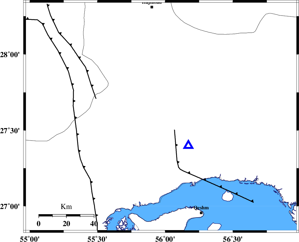
| Location | Lat:27.59 Lon: 55.97 |
| Region | 55 km North-West of Bandar-e abbas, Hormozgan Province |
Nearest Cities |
|
| 8 km of Fin, Hormozgan Province | |
| 54 km South West of Fareqan, Hormozgan Province | |
| 55 km North West of Bandar-e abbas, Hormozgan Province | |
| 62 km South East of Darz, Fars Province | |
| 76 km North West of Qeshm, Hormozgan Province | |
| Depth | 14 km |
| Agency | |
Faults within 150 km: |
|
| HZF2 (Length: 437 km) , Distance to epicenter: 39 km | |
| MFF1 (Length: 180 km) , Distance to epicenter: 65 km | |
| MAIN_ZAGROS_R_F (Length: 1106 km) , Distance to epicenter: 76 km | |
| Number of Phases | 4 |
| RMS | 0.1 |
| Number of Stations | 3 |
| Error in Latitude | >1.6 km |
| Error in Longitude | 4.6 km |
| Error in Depth | 5.9 km |
Download waveform in seisan format
to download seisan software Click here
to access information about IIEES stations Click here
Amplitude | ||||||||
| UID | Agency | Station | Component | Amplitude | Period | Arrival Time | Proccessing Time | Signal Clip |
| 36316 | IIEES | KRBR | N | 67.6 | 0.44 | 2006-10-10 22:43:57 | 2007-01-07 07:24:00 | n |
| 36317 | IIEES | KRBR | E | 47.4 | 0.4 | 2006-10-10 22:43:58 | 2007-01-07 07:24:00 | n |
| 36318 | IIEES | GHIR | E | 33.4 | 0.6 | 2006-10-10 22:44:19 | 2007-01-07 07:24:00 | n |
Phase | ||||||||||||
| Agency | Station | Component | Phase Type | Phase Quality | First Motion | Observed Arrival Time | Time Residual | Loc. Flag | Input Weight | Distance | Azimuth | |
| IIEES | BNDS | Z | PG | E | 2006-10-10 22:42:40 | 0 | y | 29.3 | 137 | |||
| IIEES | KRBR | Z | PN | E | 2006-10-10 22:43:17 | 0.1 | y | 276 | 16 | |||
| IIEES | KRBR | E | SG | E | 2006-10-10 22:43:52 | -0.1 | y | 276 | 16 | |||
| IIEES | GHIR | Z | PN | E | 2006-10-10 22:43:20 | 0 | y | 303 | 285 | |||