
Magnitude |
:3.2 |
| Date & Time (UTC) | 2006-09-25 04:32:46.4 |
| Date & Time (Local) | 1385/7/3 08:02:46.4 |
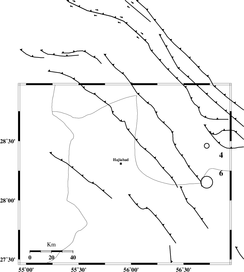
| Location | Lat:28.22 Lon: 55.94 |
| Region | 10 km Hajiabad, Hormozgan Province |
Nearest Cities |
|
| 11 km of Hajiabad, Hormozgan Province | |
| 37 km North West of Fareqan, Hormozgan Province | |
| 48 km South West of Arzuieeh, Kerman Province | |
| 51 km South West of Shahmaran, Kerman Province | |
| 64 km North East of Darz, Fars Province | |
| Depth | 15 km |
| Agency | |
Faults within 150 km: |
|
| HZF2 (Length: 437 km) , Distance to epicenter: 12 km | |
| MAIN_ZAGROS_R_F (Length: 1106 km) , Distance to epicenter: 13 km | |
| HZF1 (Length: 102 km) , Distance to epicenter: 83 km | |
| Number of Phases | 4 |
| RMS | 0 |
| Number of Stations | 3 |
| Error in Latitude | >1.7 km |
| Error in Longitude | 2.7 km |
| Error in Depth | 2.9 km |
Download waveform in seisan format
to download seisan software Click here
to access information about IIEES stations Click here
Amplitude | ||||||||
| UID | Agency | Station | Component | Amplitude | Period | Arrival Time | Proccessing Time | Signal Clip |
| 36049 | IIEES | KRBR | N | 207.4 | 0.6 | 2006-09-25 04:33:53 | 2006-10-17 03:59:00 | n |
| 36050 | IIEES | GHIR | E | 106.7 | 0.44 | 2006-09-25 04:34:25 | 2006-10-17 03:59:00 | n |
| 36051 | IIEES | GHIR | N | 88.8 | 0.66 | 2006-09-25 04:34:37 | 2006-10-17 03:59:00 | n |
Phase | ||||||||||||
| Agency | Station | Component | Phase Type | Phase Quality | First Motion | Observed Arrival Time | Time Residual | Loc. Flag | Input Weight | Distance | Azimuth | |
| IIEES | BNDS | Z | PG | E | 2006-09-25 04:33:02 | 0 | y | 93.7 | 166 | |||
| IIEES | KRBR | Z | PG | E | 2006-09-25 04:33:21 | 0 | y | 211 | 22 | |||
| IIEES | KRBR | N | SN | 2006-09-25 04:33:45 | 0 | y | 211 | 22 | ||||
| IIEES | GHIR | Z | PN | E | 2006-09-25 04:33:29 | 0 | y | 289 | 272 | |||