
Magnitude |
:3.6 |
| Date & Time (UTC) | 2006-09-14 03:18:21.8 |
| Date & Time (Local) | 1385/6/23 06:48:21.8 |
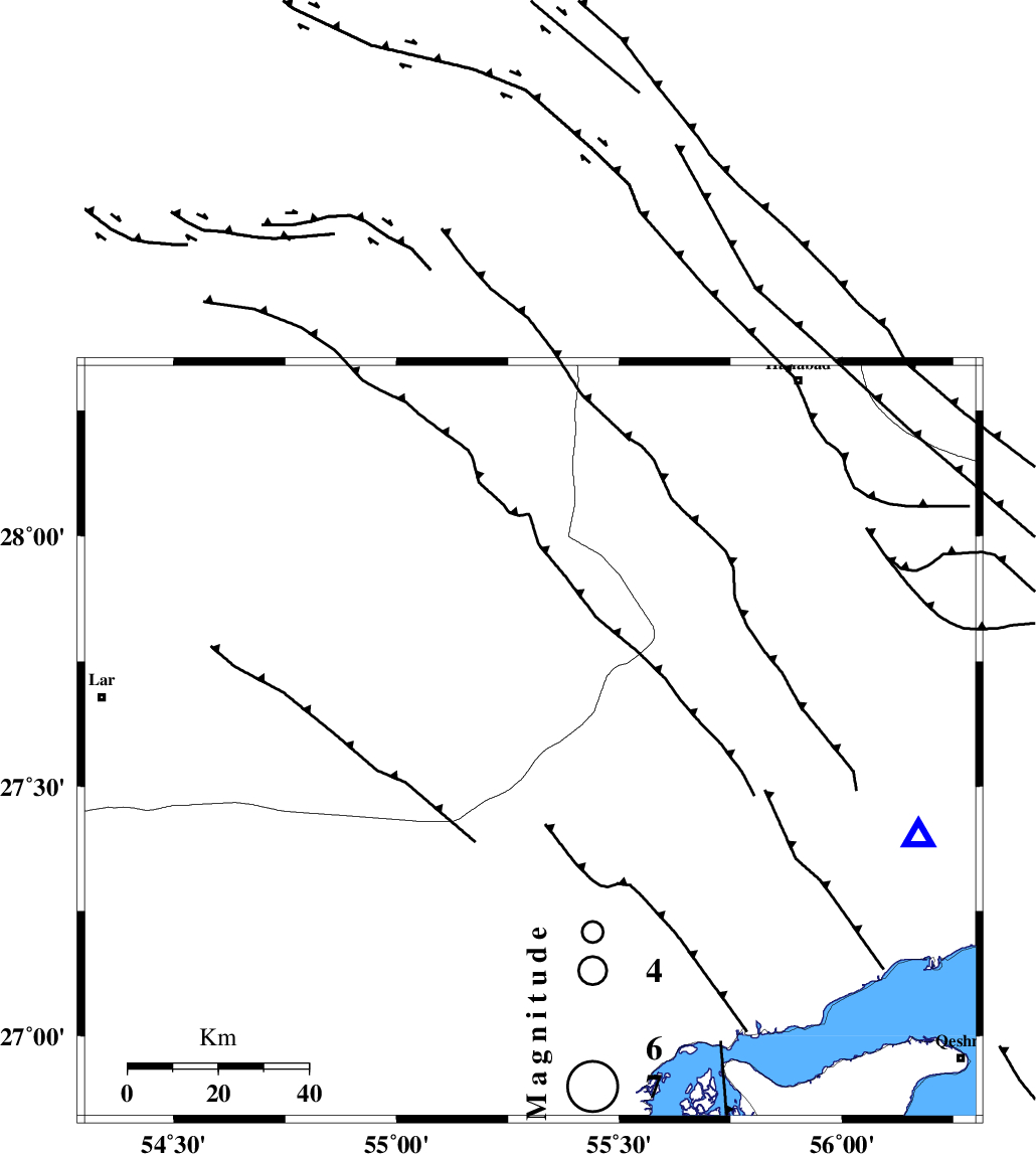
| Location | Lat:27.59 Lon: 55.3 |
| Region | 94 km East of Lar, Fars Province |
Nearest Cities |
|
| 33 km South West of Darz, Fars Province | |
| 60 km West of Fin, Hormozgan Province | |
| 69 km South East of Fadami, Fars Province | |
| 77 km North West of Bandar-e khamir, Hormozgan Province | |
| 80 km South of Doborji, Fars Province | |
| Depth | 15 km |
| Agency | |
Faults within 150 km: |
|
| LAR_F (Length: 99 km) , Distance to epicenter: 47 km | |
| MFF1 (Length: 180 km) , Distance to epicenter: 61 km | |
| HZF2 (Length: 437 km) , Distance to epicenter: 71 km | |
| Number of Phases | 3 |
| RMS | 0 |
| Number of Stations | 3 |
| Error in Latitude | >3.2 km |
| Error in Longitude | 1.7 km |
| Error in Depth | 0 km |
Download waveform in seisan format
to download seisan software Click here
to access information about IIEES stations Click here
Amplitude | ||||||||
| UID | Agency | Station | Component | Amplitude | Period | Arrival Time | Proccessing Time | Signal Clip |
| 35636 | IIEES | BNDS | E | 1866.2 | 1.21 | 2006-09-14 03:18:59 | 2006-10-17 03:59:00 | n |
| 35637 | IIEES | GHIR | E | 605.1 | 0.61 | 2006-09-14 03:19:41 | 2006-10-17 03:59:00 | n |
| 35638 | IIEES | GHIR | N | 475.5 | 0.56 | 2006-09-14 03:19:50 | 2006-10-17 03:59:00 | n |
| 35639 | IIEES | KRBR | E | 242.3 | 0.55 | 2006-09-14 03:19:48 | 2006-10-17 03:59:00 | n |
| 35640 | IIEES | KRBR | N | 205.1 | 0.85 | 2006-09-14 03:19:49 | 2006-10-17 03:59:00 | n |
Phase | ||||||||||||
| Agency | Station | Component | Phase Type | Phase Quality | First Motion | Observed Arrival Time | Time Residual | Loc. Flag | Input Weight | Distance | Azimuth | |
| IIEES | BNDS | Z | PG | E | 2006-09-14 03:18:37 | 0 | y | 89.1 | 103 | |||
| IIEES | GHIR | Z | PG | E | 2006-09-14 03:19:01 | 0 | y | 240 | 289 | |||
| IIEES | KRBR | Z | PN | E | 2006-09-14 03:19:07 | 0 | y | 301 | 28 | |||