
Magnitude |
:3.5 |
| Date & Time (UTC) | 2026-06-17 07:53:15.0 |
| Date & Time (Local) | 1405/3/27 11:23:15.0 |
| Location | Lat:38.26 Lon: 49.492 |
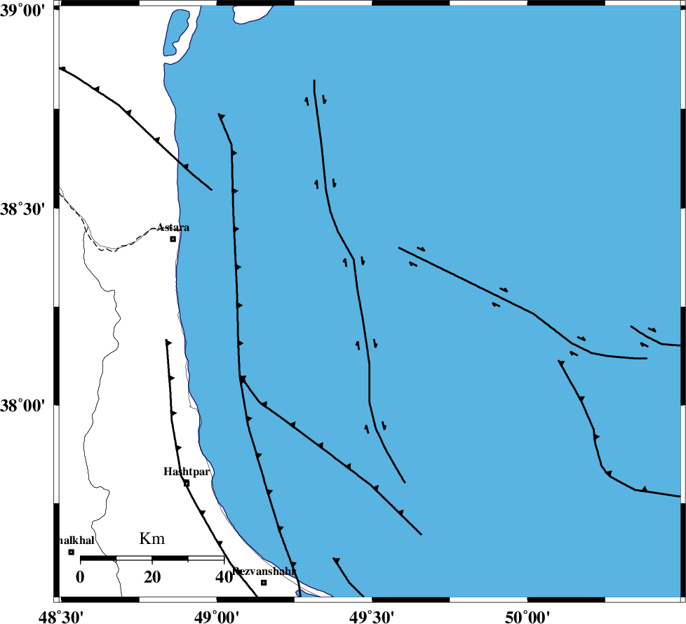
| Region | Caspian Sea, 58 km South-East of Astara |
Nearest Cities |
|
| 54 km North East of Hariq, Gilan Province | |
| 56 km East of Londovil, Gilan Province | |
| 58 km South East of Astara, Gilan Province | |
| 58 km North East of Lisar, Gilan Province | |
| 68 km North East of Chelonasr, Gilan Province | |
| Depth | 12 km |
| Agency | |
Faults within 150 km: |
|
| TALESH_F (Length: 258 km) , Distance to epicenter: 55 km | |
| SANGAVAR_F (Length: 61 km) , Distance to epicenter: 82 km | |
| BOZQUSH (Length: 70 km) , Distance to epicenter: 112 km | |
| Number of Phases | 10 |
| RMS | 0.2 |
| Number of Stations | 10 |
| Error in Latitude | >1.3 km |
| Error in Longitude | 1.3 km |
| Error in Depth | 9.4 km |
Download waveform in seisan format
to download seisan software Click here
to access information about IIEES stations Click here
Amplitude | ||||||||
| UID | Agency | Station | Component | Amplitude | Period | Arrival Time | Proccessing Time | Signal Clip |
| 201914 | IIEES SC | ASAO | Z | 0.05 | 1 | 2026-06-17 07:54:14 | 2026-06-21 05:27:00 | n |
| 201915 | IIEES SC | GHVR | Z | 0.08 | 1 | 2026-06-17 07:54:18 | 2026-06-21 05:27:00 | n |
| 201916 | IIEES SC | SHRO | Z | 0.04 | 1 | 2026-06-17 07:54:41 | 2026-06-21 05:27:00 | n |
Phase | ||||||||||||
| Agency | Station | Component | Phase Type | Phase Quality | First Motion | Observed Arrival Time | Time Residual | Loc. Flag | Input Weight | Distance | Azimuth | |
| IIEES SC | GIDE | Z | EPg | E | 2026-06-17 07:53:39 | -0.5 | y | 0 | 151 | 169 | ||
| IIEES SC | GIDE | Z | ESg | E | 2026-06-17 07:54:00 | 1.9 | n | 4 | 151 | 169 | ||
| IIEES SC | ASAO | Z | EPn | E | 2026-06-17 07:54:14 | 0.2 | y | 0 | 415 | 173 | ||
| IIEES SC | GHVR | Z | EPn | E | 2026-06-17 07:54:18 | -0.1 | y | 0 | 448 | 159 | ||
| IIEES SC | HNVD | Z | EPn | E | 2026-06-17 07:54:19 | 0.4 | y | 0 | 452 | 194 | ||
| IIEES SC | GNI | Z | EPn | E | 2026-06-17 07:54:20 | 0 | y | 0 | 461 | 297 | ||
| IIEES SC | SFB | Z | EPn | E | 2026-06-17 07:54:15 | -9.3 | n | 4 | 499 | 150 | ||
| IIEES SC | DOB | Z | EPn | E | 2026-06-17 07:54:26 | -0.3 | y | 0 | 510 | 193 | ||
| IIEES SC | SHRO | Z | EPn | E | 2026-06-17 07:54:41 | 0 | y | 0 | 631 | 113 | ||
| IIEES SC | BJRD | Z | EPn | E | 2026-06-17 07:54:42 | -7.4 | n | 4 | 698 | 95 | ||