
Magnitude |
:2.9 |
| Date & Time (UTC) | 2025-12-06 23:13:02.1 |
| Date & Time (Local) | 1404/9/16 02:43:02.1 |
| Location | Lat:30.124 Lon: 57.916 |
| Region | Kerman Province, 82 km South-East of Kerman |
Nearest Cities |
|
| 28 km North East of Jushan, Kerman Province | |
| 30 km North East of Golbaft, Kerman Province | |
| 34 km South of Estehkam, Kerman Province | |
| 35 km East of Sirch, Kerman Province | |
| 37 km North West of Geshit, Kerman Province | |
| Depth | 12 km |
| Agency | |
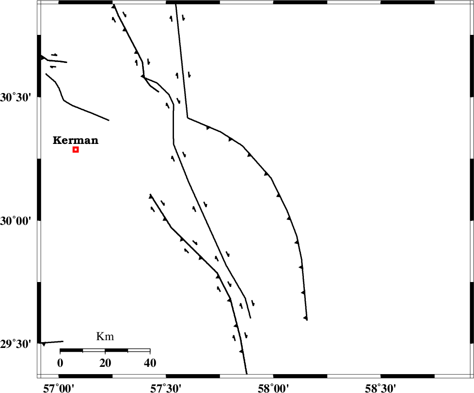
Faults within 150 km: |
|
| SHAHDAD_F (Length: 108 km) , Distance to epicenter: 9 km | |
| GOLBAF_SIRCH_F (Length: 114 km) , Distance to epicenter: 30 km | |
| GOWK_F (Length: 152 km) , Distance to epicenter: 41 km | |
| Number of Phases | 6 |
| RMS | 0.1 |
| Number of Stations | 6 |
| Error in Latitude | >1.5 km |
| Error in Longitude | 1.5 km |
| Error in Depth | 211.5 km |
Download waveform in seisan format
to download seisan software Click here
to access information about IIEES stations Click here
Amplitude | ||||||||
| UID | Agency | Station | Component | Amplitude | Period | Arrival Time | Proccessing Time | Signal Clip |
| 200483 | IIEES SC | ZHSF | Z | 0.08 | 1 | 2025-12-06 23:13:45 | 2025-12-07 06:15:00 | n |
| 200484 | IIEES SC | TABS | Z | 0.04 | 1 | 2025-12-06 23:13:59 | 2025-12-07 06:15:00 | n |
| 200485 | IIEES SC | SHRT | Z | 0.02 | 1 | 2025-12-06 23:14:06 | 2025-12-07 06:15:00 | n |
Phase | ||||||||||||
| Agency | Station | Component | Phase Type | Phase Quality | First Motion | Observed Arrival Time | Time Residual | Loc. Flag | Input Weight | Distance | Azimuth | |
| IIEES SC | BSRN | Z | EPn | E | 2025-12-06 23:13:33 | -6 | n | 4 | 234 | 29 | ||
| IIEES SC | ZHSF | Z | EPn | E | 2025-12-06 23:13:45 | -0.1 | y | 0 | 281 | 102 | ||
| IIEES SC | TABS | Z | EPn | E | 2025-12-06 23:13:59 | 0.2 | y | 0 | 398 | 349 | ||
| IIEES SC | YZKH | Z | EPn | E | 2025-12-06 23:14:00 | -0.1 | y | 0 | 404 | 308 | ||
| IIEES SC | SHRT | Z | EPn | E | 2025-12-06 23:14:06 | 0 | y | 0 | 451 | 30 | ||
| IIEES SC | IRSR | Z | EPn | E | 2025-12-06 23:14:06 | 0.1 | y | 0 | 453 | 140 | ||