
Magnitude |
:2.7 |
| Date & Time (UTC) | 2019-01-15 01:55:04.6 |
| Date & Time (Local) | 1397/10/25 05:25:04.6 |
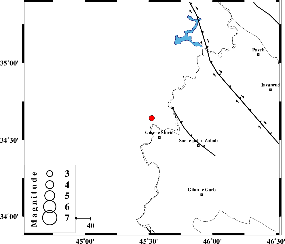
| Location | Lat:34.642 Lon: 45.523 |
| Region | Iraq, 15 km North of Qasr-E-Shirin |
Nearest Cities |
|
| 15 km North of Qasr-E-Shirin, Kermanshah Province | |
| 17 km North West of Aqabarar, Kermanshah Province | |
| 22 km South West of Tappeh rash, Kermanshah Province | |
| 23 km North of Seyyed sohrab, Kermanshah Province | |
| 24 km North West of Mirmiru, Kermanshah Province | |
| Depth | 17 km |
| Agency | |
Faults within 150 km: |
|
| MFF8 (Length: 48 km) , Distance to epicenter: 16 km | |
| HZF4 (Length: 492 km) , Distance to epicenter: 57 km | |
| ZFF4 (Length: 128 km) , Distance to epicenter: 79 km | |
| Number of Phases | 8 |
| RMS | 0.2 |
| Number of Stations | 6 |
| Error in Latitude | >1.9 km |
| Error in Longitude | 3.2 km |
| Error in Depth | 4.4 km |
Download waveform in seisan format
to download seisan software Click here
to access information about IIEES stations Click here
Amplitude | ||||||||
| UID | Agency | Station | Component | Amplitude | Period | Arrival Time | Proccessing Time | Signal Clip |
| 140176 | IIEES | ILBA | E | 175.2 | 0.48 | 2019-01-15 01:55:47 | 2019-01-16 04:02:00 | n |
| 140177 | IIEES | ILBA | N | 120.1 | 0.61 | 2019-01-15 01:55:49 | 2019-01-16 04:02:00 | n |
| 140178 | IIEES | SNGE | E | 118.4 | 0.61 | 2019-01-15 01:55:58 | 2019-01-16 04:02:00 | n |
| 140179 | IIEES | SNGE | N | 72 | 0.31 | 2019-01-15 01:56:01 | 2019-01-16 04:02:00 | n |
| 140180 | IIEES | ASAO | E | 8.2 | 0.77 | 2019-01-15 01:57:17 | 2019-01-16 04:02:00 | n |
Phase | ||||||||||||
| Agency | Station | Component | Phase Type | Phase Quality | First Motion | Observed Arrival Time | Time Residual | Loc. Flag | Input Weight | Distance | Azimuth | |
| IIEES | ILBA | Z | Pg | E | 2019-01-15 01:55:26 | 0.19 | y | 129 | 151 | |||
| IIEES | SRSL | Z | Pg | E | 2019-01-15 01:55:33 | -0.27 | y | 174 | 357 | |||
| IIEES | SNGE | Z | Pg | E | 2019-01-15 01:55:33 | -0.28 | y | 174 | 73 | |||
| IIEES | SNGE | N | Sg | E | 2019-01-15 01:55:54 | 0.11 | y | 174 | 73 | |||
| IIEES | SRSL | N | Sg | E | 2019-01-15 01:55:54 | 0.25 | y | 174 | 357 | |||
| IIEES | ZNJK | Z | Pn | E | 2019-01-15 01:55:57 | 0.04 | y | 364 | 51 | |||
| IIEES | ASAO | Z | Pn | E | 2019-01-15 01:56:03 | 0.14 | y | 413 | 90 | |||
| IIEES | KHMZ | Z | Pn | E | 2019-01-15 01:56:04 | -0.17 | y | 421 | 102 | |||