
Magnitude |
:2.6 |
| Date & Time (UTC) | 2017-11-07 13:59:20.2 |
| Date & Time (Local) | 1396/8/16 17:29:20.2 |
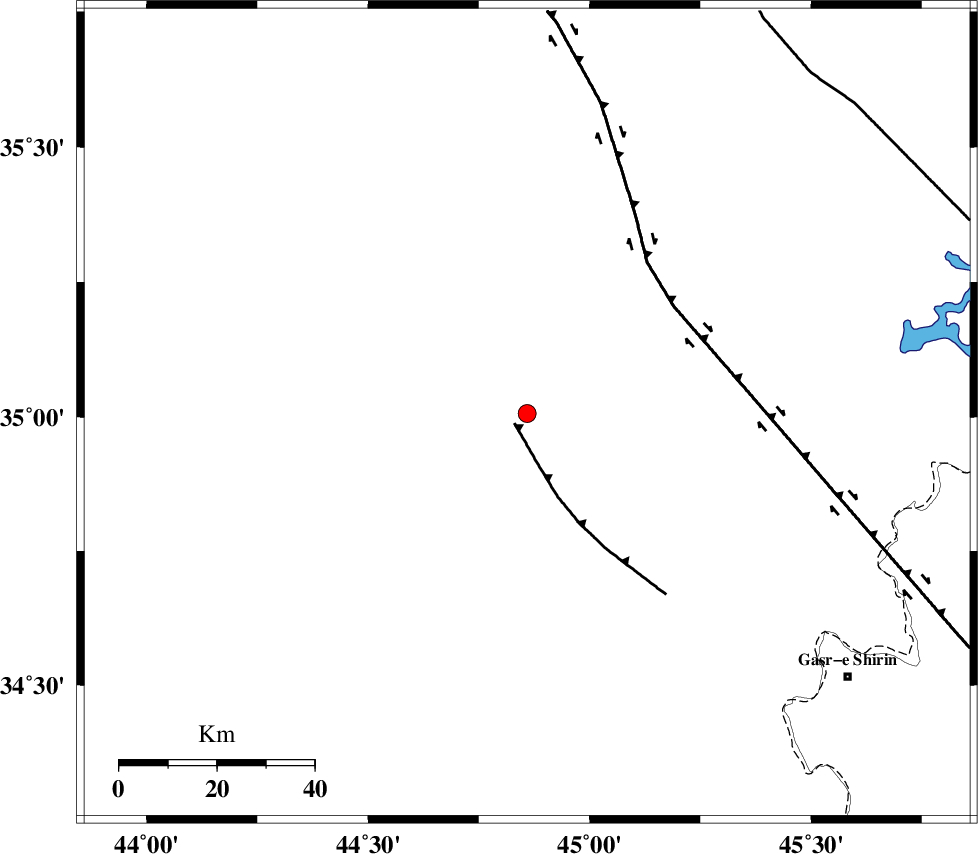
| Location | Lat:35.006 Lon: 44.859 |
| Region | Iraq, 81 km South-West of Sulaymaniyah |
Nearest Cities |
|
| 81 km South West of Sulaymaniyah, Iraq Province | |
| 84 km North West of Tappeh rash, Kermanshah Province | |
| 86 km North West of Qasr-E-Shirin, Kermanshah Province | |
| 88 km North West of Khosravi, Kermanshah Province | |
| 90 km North West of Aqabarar, Kermanshah Province | |
| Depth | 14 km |
| Agency | |
Faults within 150 km: |
|
| MFF8 (Length: 48 km) , Distance to epicenter: 81 km | |
| HZF4 (Length: 492 km) , Distance to epicenter: 96 km | |
| ZFF4 (Length: 128 km) , Distance to epicenter: 132 km | |
| Number of Phases | 5 |
| RMS | 0.2 |
| Number of Stations | 3 |
| Error in Latitude | >4.5 km |
| Error in Longitude | 7.2 km |
| Error in Depth | 9.3 km |
Download waveform in seisan format
to download seisan software Click here
to access information about IIEES stations Click here
Amplitude | ||||||||
| UID | Agency | Station | Component | Amplitude | Period | Arrival Time | Proccessing Time | Signal Clip |
| 121202 | IIEES | ILBA | N | 36.7 | 0.36 | 2017-11-07 14:00:18 | 2017-11-08 06:29:00 | n |
| 121203 | IIEES | SNGE | N | 56.7 | 0.57 | 2017-11-07 14:00:29 | 2017-11-08 06:29:00 | n |
| 121204 | IIEES | SNGE | E | 40 | 0.43 | 2017-11-07 14:00:30 | 2017-11-08 06:29:00 | n |
Phase | ||||||||||||
| Agency | Station | Component | Phase Type | Phase Quality | First Motion | Observed Arrival Time | Time Residual | Loc. Flag | Input Weight | Distance | Azimuth | |
| IIEES | ILBA | Z | Pg | E | 2017-11-07 13:59:52 | -0.3 | y | 197 | 141 | |||
| IIEES | ILBA | N | Sg | E | 2017-11-07 14:00:16 | 0.17 | y | 197 | 141 | |||
| IIEES | SNGE | Z | Pn | E | 2017-11-07 13:59:56 | 0.15 | y | 227 | 87 | |||
| IIEES | SNGE | N | Sg | E | 2017-11-07 14:00:24 | -0.1 | y | 227 | 87 | |||
| IIEES | ASAO | Z | Pn | E | 2017-11-07 14:00:27 | 0.12 | y | 476 | 95 | |||