
Magnitude |
:2.7 |
| Date & Time (UTC) | 2017-06-22 10:54:17.2 |
| Date & Time (Local) | 1396/4/1 15:24:17.2 |
| Location | Lat:35.495 Lon: 46.307 |
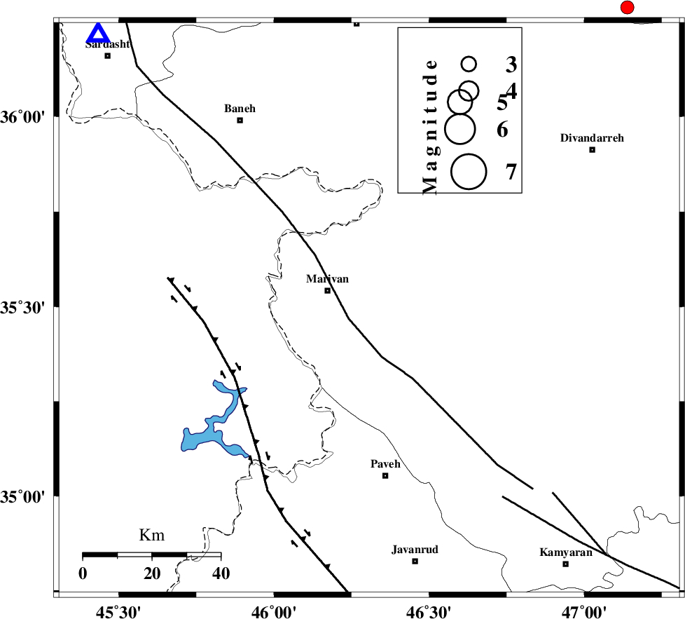
| Region | Kurdistan Province, 13 km -East of Marivan |
Nearest Cities |
|
| 11 km North East of Kanidinar, Kurdistan Province | |
| 13 km East of Marivan, Kurdistan Province | |
| 15 km South of Chenareh, Kurdistan Province | |
| 15 km North West of Pir-e khafaran, Kurdistan Province | |
| 16 km North of Qaleh ji, Kurdistan Province | |
| Depth | 17 km |
| Agency | |
Faults within 150 km: |
|
| PIRANSHAHR_F (Length: 253 km) , Distance to epicenter: 7 km | |
| HZF4 (Length: 492 km) , Distance to epicenter: 44 km | |
| SARTAKHT_F (Length: 78 km) , Distance to epicenter: 68 km | |
| Number of Phases | 5 |
| RMS | 0 |
| Number of Stations | 4 |
| Error in Latitude | >6.8 km |
| Error in Longitude | 9.6 km |
| Error in Depth | 7.2 km |
Download waveform in seisan format
to download seisan software Click here
to access information about IIEES stations Click here
Amplitude | ||||||||
| UID | Agency | Station | Component | Amplitude | Period | Arrival Time | Proccessing Time | Signal Clip |
| 116980 | IIEES | SNGE | E | 204.2 | 0.41 | 2017-06-22 10:54:55 | 2017-06-24 09:47:00 | n |
| 116981 | IIEES | ILBA | E | 60.2 | 0.45 | 2017-06-22 10:55:19 | 2017-06-24 09:47:00 | n |
| 116982 | IIEES | ILBA | N | 50 | 0.38 | 2017-06-22 10:55:22 | 2017-06-24 09:47:00 | n |
| 116983 | IIEES | KHMZ | E | 9.6 | 0.55 | 2017-06-22 10:56:19 | 2017-06-24 09:47:00 | n |
| 116984 | IIEES | GHVR | E | 6.5 | 0.44 | 2017-06-22 10:56:51 | 2017-06-24 09:47:00 | n |
Phase | ||||||||||||
| Agency | Station | Component | Phase Type | Phase Quality | First Motion | Observed Arrival Time | Time Residual | Loc. Flag | Input Weight | Distance | Azimuth | |
| IIEES | SNGE | Z | Pg | E | 2017-06-22 10:54:35 | 0 | y | 105 | 115 | |||
| IIEES | ILBA | Z | Pn | E | 2017-06-22 10:54:50 | 0.01 | y | 208 | 183 | |||
| IIEES | ILBA | N | Sg | E | 2017-06-22 10:55:16 | 0 | y | 208 | 183 | |||
| IIEES | KHMZ | Z | Pn | E | 2017-06-22 10:55:13 | 0 | y | 388 | 119 | |||
| IIEES | GHVR | Z | Pn | E | 2017-06-22 10:55:39 | 16.64 | n | 4 | 465 | 103 | ||