
Magnitude |
:2.7 |
| Date & Time (UTC) | 2017-04-28 07:23:45.4 |
| Date & Time (Local) | 1396/2/8 11:53:45.4 |
| Location | Lat:30.815 Lon: 51.56 |
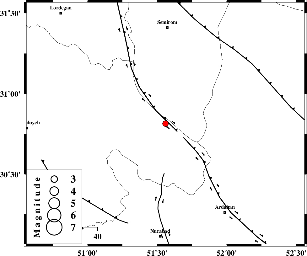
| Region | Kohkiluieh va boyerahmad Province, 11 km -East of Sisakht |
Nearest Cities |
|
| 11 km East of Sisakht, Kohkiluieh va boyerahmad Province | |
| 14 km North East of Kerik, Kohkiluieh va boyerahmad Province | |
| 16 km North of Yasuj, Kohkiluieh va boyerahmad Province | |
| 23 km North of Tal-e khosro, Kohkiluieh va boyerahmad Province | |
| 25 km North East of Chitab, Kohkiluieh va boyerahmad Province | |
| Depth | 15 km |
| Agency | |
Faults within 150 km: |
|
| DENA_F (Length: 137 km) , Distance to epicenter: 10 km | |
| HZF3 (Length: 197 km) , Distance to epicenter: 16 km | |
| KAZERUN_F (Length: 96 km) , Distance to epicenter: 34 km | |
| Number of Phases | 4 |
| RMS | 0.1 |
| Number of Stations | 4 |
| Error in Latitude | >1.7 km |
| Error in Longitude | 2.4 km |
| Error in Depth | 0 km |
Download waveform in seisan format
to download seisan software Click here
to access information about IIEES stations Click here
Amplitude | ||||||||
| UID | Agency | Station | Component | Amplitude | Period | Arrival Time | Proccessing Time | Signal Clip |
| 115460 | IIEES | AHRM | E | 72.2 | 0 | 2017-04-28 07:24:54 | 2017-04-29 06:23:00 | n |
| 115461 | IIEES | AHRM | N | 56 | 0.55 | 2017-04-28 07:25:03 | 2017-04-29 06:23:00 | n |
| 115462 | IIEES | GHIR | N | 26.3 | 0.42 | 2017-04-28 07:25:22 | 2017-04-29 06:23:00 | n |
| 115463 | IIEES | GHIR | E | 31.9 | 0.53 | 2017-04-28 07:25:37 | 2017-04-29 06:23:00 | n |
| 115464 | IIEES | YZKH | N | 10.6 | 0.44 | 2017-04-28 07:25:22 | 2017-04-29 06:23:00 | n |
| 115465 | IIEES | KHMZ | E | 11.3 | 0.59 | 2017-04-28 07:25:34 | 2017-04-29 06:23:00 | n |
| 115466 | IIEES | KHMZ | N | 12 | 0.79 | 2017-04-28 07:25:43 | 2017-04-29 06:23:00 | n |
Phase | ||||||||||||
| Agency | Station | Component | Phase Type | Phase Quality | First Motion | Observed Arrival Time | Time Residual | Loc. Flag | Input Weight | Distance | Azimuth | |
| IIEES | AHRM | Z | Pn | E | 2017-04-28 07:24:20 | 0.12 | y | 218 | 187 | |||
| IIEES | GHIR | Z | Pn | E | 2017-04-28 07:24:31 | -0.15 | y | 313 | 153 | |||
| IIEES | YZKH | Z | Pn | E | 2017-04-28 07:24:35 | 0.08 | y | 337 | 58 | |||
| IIEES | KHMZ | Z | Pn | E | 2017-04-28 07:24:37 | -0.06 | y | 358 | 336 | |||