
Magnitude |
:3.6 |
| Date & Time (UTC) | 2017-02-05 20:39:11.4 |
| Date & Time (Local) | 1395/11/18 00:09:11.4 |
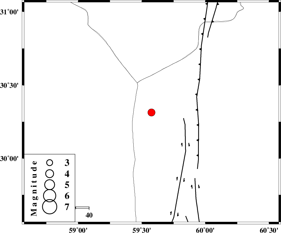
| Location | Lat:30.314 Lon: 59.576 |
| Region | Sistan va Baloochestan Province, 143 km South-West of Nehbandan |
Nearest Cities |
|
| 66 km North West of Nosratabad, Sistan va Baloochestan Province | |
| 113 km North West of Hesaruyeh, Sistan va Baloochestan Province | |
| 136 km North West of Mohamadabad, Sistan va Baloochestan Province | |
| 143 km South West of Nehbandan, Khorasan(south) Province | |
| 147 km North East of Geshit, Kerman Province | |
| Depth | 14 km |
| Agency | |
Faults within 150 km: |
|
| KANURAK_F (Length: 135 km) , Distance to epicenter: 25 km | |
| W_NEH_F (Length: 158 km) , Distance to epicenter: 36 km | |
| NOSRATABAD_F_Z3 (Length: 150 km) , Distance to epicenter: 60 km | |
| Number of Phases | 6 |
| RMS | 0.3 |
| Number of Stations | 5 |
| Error in Latitude | >4.5 km |
| Error in Longitude | 5.6 km |
| Error in Depth | 9.8 km |
Download waveform in seisan format
to download seisan software Click here
to access information about IIEES stations Click here
Amplitude | ||||||||
| UID | Agency | Station | Component | Amplitude | Period | Arrival Time | Proccessing Time | Signal Clip |
| 113109 | IIEES | KRBR | N | 370.4 | 0.22 | 2017-02-05 20:40:31 | 2017-02-06 09:38:00 | n |
| 113110 | IIEES | KRBR | E | 275 | 0.54 | 2017-02-05 20:40:35 | 2017-02-06 09:38:00 | n |
| 113111 | IIEES | TABS | N | 42 | 0.66 | 2017-02-05 20:41:29 | 2017-02-06 09:38:00 | n |
Phase | ||||||||||||
| Agency | Station | Component | Phase Type | Phase Quality | First Motion | Observed Arrival Time | Time Residual | Loc. Flag | Input Weight | Distance | Azimuth | |
| IIEES | BSRN | Z | Pg | E | 2017-02-05 20:39:42 | -0.3 | y | 188 | 347 | |||
| IIEES | KRBR | Z | Pn | E | 2017-02-05 20:39:52 | -0.51 | y | 274 | 263 | |||
| IIEES | KRBR | N | Sg | E | 2017-02-05 20:40:29 | 0.25 | y | 274 | 263 | |||
| IIEES | SHRT | Z | Pn | E | 2017-02-05 20:40:06 | 0.32 | y | 376 | 10 | |||
| IIEES | TABS | Z | Pn | E | 2017-02-05 20:40:13 | 0.3 | y | 437 | 329 | |||
| IIEES | CHBR | Z | Pn | E | 2017-02-05 20:40:25 | 0.11 | y | 530 | 170 | |||