
Magnitude |
:2.7 |
| Date & Time (UTC) | 2015-12-13 12:21:21.1 |
| Date & Time (Local) | 1394/9/22 15:51:21.1 |
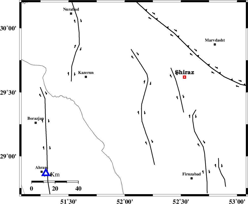
| Location | Lat:29.451 Lon: 52.079 |
| Region | Fars Province, 64 km North of Farashband |
Nearest Cities |
|
| 9 km of Richi, Fars Province | |
| 23 km North East of Baladeh, Fars Province | |
| 25 km South East of Kalani, Fars Province | |
| 25 km North of Jareh, Fars Province | |
| 26 km North East of Dadin-e olia, Fars Province | |
| Depth | 14 km |
| Agency | |
Faults within 150 km: |
|
| KAREBASS_F (Length: 98 km) , Distance to epicenter: 8 km | |
| SABZ_PUSHAN_F_Z3 (Length: 37 km) , Distance to epicenter: 40 km | |
| SABZ_PUSHAN_F_Z1 (Length: 69 km) , Distance to epicenter: 53 km | |
| Number of Phases | 6 |
| RMS | 0.1 |
| Number of Stations | 4 |
| Error in Latitude | >4.3 km |
| Error in Longitude | 1.5 km |
| Error in Depth | 12.6 km |
Download waveform in seisan format
to download seisan software Click here
to access information about IIEES stations Click here
Amplitude | ||||||||
| UID | Agency | Station | Component | Amplitude | Period | Arrival Time | Proccessing Time | Signal Clip |
| 102818 | IIEES | AHRM | N | 652.5 | 0.25 | 2015-12-13 12:21:53 | 2015-12-14 05:57:00 | n |
| 102819 | IIEES | AHRM | E | 582.1 | 0.41 | 2015-12-13 12:21:54 | 2015-12-14 05:57:00 | n |
| 102820 | IIEES | GHIR | N | 172.8 | 0.37 | 2015-12-13 12:22:12 | 2015-12-14 05:57:00 | n |
| 102821 | IIEES | GHIR | E | 100.1 | 0.28 | 2015-12-13 12:22:14 | 2015-12-14 05:57:00 | n |
| 102822 | IIEES | YZKH | E | 4.6 | 0.28 | 2015-12-13 12:23:03 | 2015-12-14 05:57:00 | n |
| 102823 | IIEES | YZKH | N | 3.6 | 0.53 | 2015-12-13 12:23:08 | 2015-12-14 05:57:00 | n |
Phase | ||||||||||||
| Agency | Station | Component | Phase Type | Phase Quality | First Motion | Observed Arrival Time | Time Residual | Loc. Flag | Input Weight | Distance | Azimuth | |
| IIEES | AHRM | Z | Pg | E | 2015-12-13 12:21:38 | 0.12 | y | 100 | 230 | |||
| IIEES | AHRM | N | Sg | E | 2015-12-13 12:21:50 | -0.07 | y | 100 | 230 | |||
| IIEES | GHIR | Z | Pg | E | 2015-12-13 12:21:47 | -0.14 | y | 157 | 145 | |||
| IIEES | GHIR | N | Sg | E | 2015-12-13 12:22:06 | 0.09 | y | 157 | 145 | |||
| IIEES | NASN | Z | Pn | E | 2015-12-13 12:22:16 | 0.05 | y | 378 | 10 | |||
| IIEES | YZKH | Z | Pn | E | 2015-12-13 12:22:19 | -0.05 | y | 405 | 36 | |||