
Magnitude |
:3.4 |
| Date & Time (UTC) | 2010-10-16 10:38:45.9 |
| Date & Time (Local) | 1389/7/24 14:08:45.9 |
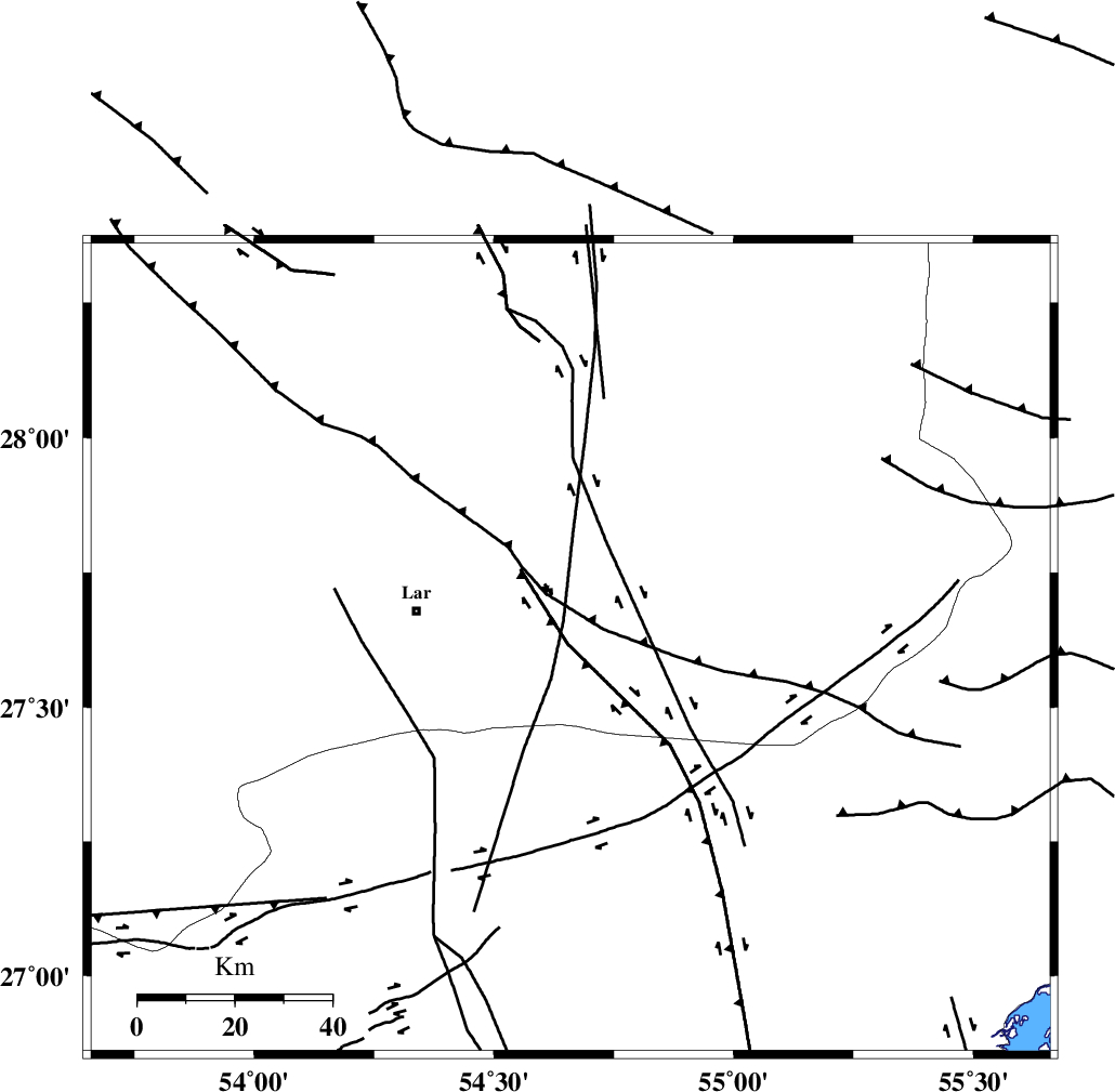
| Location | Lat:27.61 Lon: 54.66 |
| Region | Fars Province, 33 km East of Lar |
Nearest Cities |
|
| 29 km East of Latifi, Fars Province | |
| 33 km East of Lar, Fars Province | |
| 36 km South East of Dehkuyeh, Fars Province | |
| 49 km East of Grash, Fars Province | |
| 54 km North East of Bastak, Hormozgan Province | |
| Depth | 38 km |
| Agency | |
Faults within 150 km: |
|
| LAR_F (Length: 99 km) , Distance to epicenter: 8 km | |
| BERIZ_F (Length: 49 km) , Distance to epicenter: 28 km | |
| MFF1 (Length: 180 km) , Distance to epicenter: 56 km | |
| Number of Phases | 5 |
| RMS | 0.1 |
| Number of Stations | 5 |
| Error in Latitude | >7.5 km |
| Error in Longitude | 2.6 km |
| Error in Depth | 5.8 km |
Download waveform in seisan format
to download seisan software Click here
to access information about IIEES stations Click here
Amplitude | ||||||||
| UID | Agency | Station | Component | Amplitude | Period | Arrival Time | Proccessing Time | Signal Clip |
| 71870 | IIEES | GHIR | E | 437.9 | 0.44 | 2010-10-16 10:39:44 | 2010-10-16 11:00:00 | n |
| 71871 | IIEES | GHIR | N | 490.5 | 0.51 | 2010-10-16 10:39:46 | 2010-10-16 11:00:00 | n |
| 71872 | IIEES | KRBR | N | 69.4 | 0.74 | 2010-10-16 10:40:31 | 2010-10-16 11:00:00 | n |
Phase | ||||||||||||
| Agency | Station | Component | Phase Type | Phase Quality | First Motion | Observed Arrival Time | Time Residual | Loc. Flag | Input Weight | Distance | Azimuth | |
| IIEES | BNDS | Z | Pg | E | 2010-10-16 10:39:10 | -0.1 | y | 151 | 99 | |||
| IIEES | GHIR | Z | Pg | E | 2010-10-16 10:39:15 | 0 | y | 181 | 295 | |||
| IIEES | KRBR | Z | Pn | E | 2010-10-16 10:39:33 | 0.2 | y | 333 | 37 | |||
| IIEES | AHRM | Z | Pn | E | 2010-10-16 10:39:35 | 0 | y | 358 | 294 | |||
| IIEES | NASN | Z | Pn | E | 2010-10-16 10:40:06 | -0.3 | y | 602 | 343 | |||