
Magnitude |
:2.7 |
| Date & Time (UTC) | 2010-04-16 18:40:17.0 |
| Date & Time (Local) | 1389/1/27 23:10:17.0 |
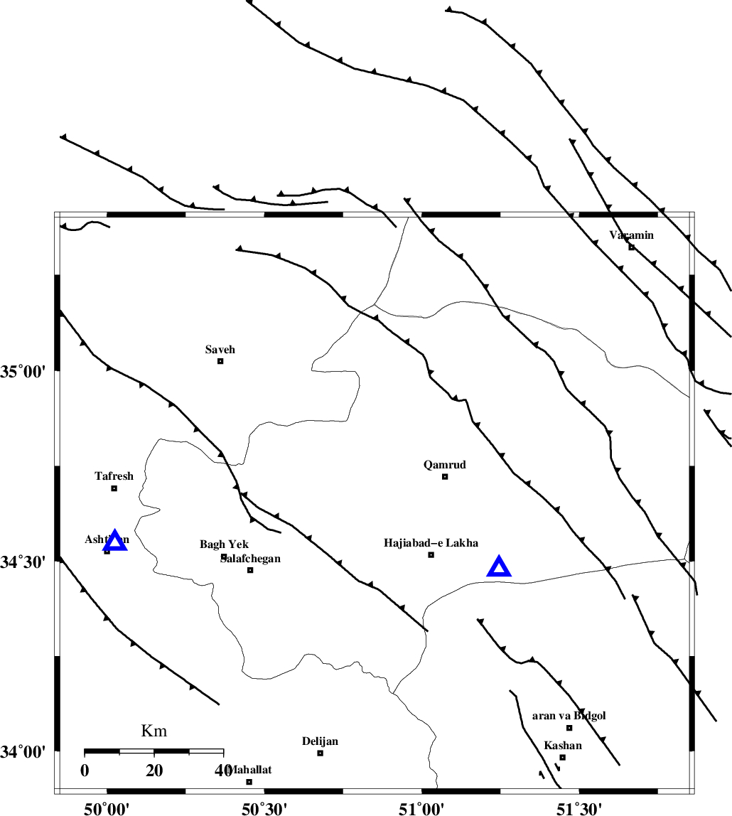
| Location | Lat:34.65 Lon: 50.85 |
| Region | Qom Province, 2 km Qom |
Nearest Cities |
|
| 2 km of Qom, Qom Province | |
| 22 km West of Qamrud, Qom Province | |
| 22 km North West of Hajiabad-e lakha, Qom Province | |
| 30 km North of Kahak, Qom Province | |
| 32 km South East of Gazran, Qom Province | |
| Depth | 24 km |
| Agency | |
Faults within 150 km: |
|
| KUSHK_E_NOSRAT_F (Length: 230 km) , Distance to epicenter: 28 km | |
| INDES_F (Length: 98 km) , Distance to epicenter: 28 km | |
| SIAHKUH_F (Length: 154 km) , Distance to epicenter: 60 km | |
| Number of Phases | 5 |
| RMS | 0.2 |
| Number of Stations | 5 |
| Error in Latitude | >4.5 km |
| Error in Longitude | 5.5 km |
| Error in Depth | 6.8 km |
Download waveform in seisan format
to download seisan software Click here
to access information about IIEES stations Click here
Amplitude | ||||||||
| UID | Agency | Station | Component | Amplitude | Period | Arrival Time | Proccessing Time | Signal Clip |
| 60570 | IIEES | DAMV | E | 102.3 | 0.18 | 2010-04-16 18:41:05 | 2010-04-16 07:30:00 | n |
| 60571 | IIEES | DAMV | N | 129.5 | 0.28 | 2010-04-16 18:41:07 | 2010-04-16 07:30:00 | n |
Phase | ||||||||||||
| Agency | Station | Component | Phase Type | Phase Quality | First Motion | Observed Arrival Time | Time Residual | Loc. Flag | Input Weight | Distance | Azimuth | |
| IIEES | GHVR | Z | Pg | E | 2010-04-16 18:40:24 | 0 | y | 40.9 | 117 | |||
| IIEES | CHTH | Z | Pn | E | 2010-04-16 18:40:41 | -0.3 | y | 142 | 10 | |||
| IIEES | DAMV | Z | Pn | E | 2010-04-16 18:40:42 | 0.3 | y | 150 | 43 | |||
| IIEES | NASN | Z | Pn | E | 2010-04-16 18:40:57 | -0.1 | y | 274 | 138 | |||
| IIEES | SNGE | Z | Pn | E | 2010-04-16 18:41:04 | 0.1 | y | 324 | 280 | |||