
Magnitude |
:3.3 |
| Date & Time (UTC) | 2026-02-13 18:29:29.1 |
| Date & Time (Local) | 1404/11/24 21:59:29.1 |
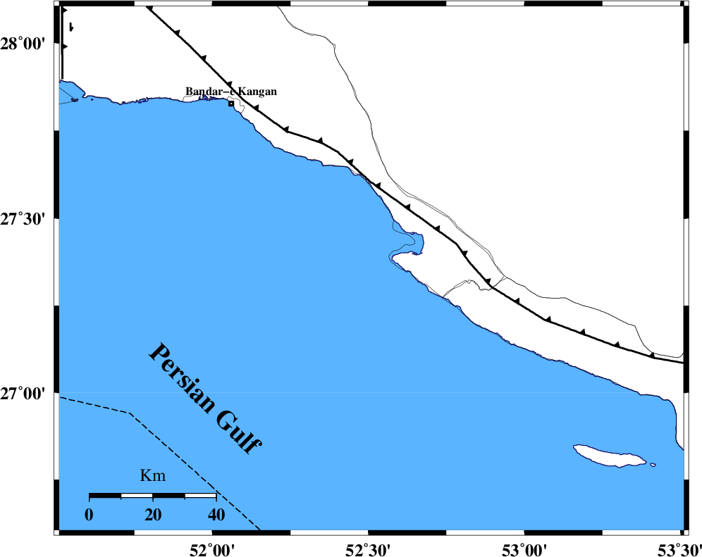
| Location | Lat:27.355 Lon: 52.51 |
| Region | Persian Gulf, 43 km South-West of Mehr |
Nearest Cities |
|
| 16 km South of Bandar-e asaluyeh, Bushehr Province | |
| 28 km West of Chah-e mobarak, Bushehr Province | |
| 37 km South West of Gallehdar, Fars Province | |
| 38 km South East of Bandar-e taheri, Bushehr Province | |
| 39 km South West of Ardavan-e olia, Fars Province | |
| Depth | 12 km |
| Agency | |
Faults within 150 km: |
|
| MFF3 (Length: 292 km) , Distance to epicenter: 28 km | |
| BORAZJAN_F (Length: 168 km) , Distance to epicenter: 115 km | |
| QIR_F (Length: 130 km) , Distance to epicenter: 124 km | |
| Number of Phases | 4 |
| RMS | 0.2 |
| Number of Stations | 4 |
| Error in Latitude | >27.4 km |
| Error in Longitude | 52.5 km |
| Error in Depth | 12 km |
Download waveform in seisan format
to download seisan software Click here
to access information about IIEES stations Click here
Amplitude | ||||||||
| UID | Agency | Station | Component | Amplitude | Period | Arrival Time | Proccessing Time | Signal Clip |
| 201575 | IIEES SC | UOSS | Z | 0.02 | 1 | 2026-02-13 18:30:33 | 2026-02-18 08:31:00 | n |
| 201576 | IIEES SC | AMS1 | Z | 0.06 | 1 | 2026-02-13 18:30:51 | 2026-02-18 08:31:00 | n |
| 201577 | IIEES SC | IRSR | Z | 0.006 | 1 | 2026-02-13 18:31:20 | 2026-02-18 08:31:00 | n |
Phase | ||||||||||||
| Agency | Station | Component | Phase Type | Phase Quality | First Motion | Observed Arrival Time | Time Residual | Loc. Flag | Input Weight | Distance | Azimuth | |
| IIEES SC | UOSS | Z | EPn | E | 2026-02-13 18:30:33 | 0 | y | 0 | 456 | 126 | ||
| IIEES SC | AMS1 | Z | EPn | E | 2026-02-13 18:30:51 | 0.2 | y | 0 | 602 | 330 | ||
| IIEES SC | IRSR | Z | EPn | E | 2026-02-13 18:31:20 | 0 | y | 0 | 829 | 93 | ||
| IIEES SC | HNVD | Z | EPn | E | 2026-02-13 18:31:25 | -0.3 | y | 0 | 872 | 332 | ||