
Magnitude |
:3.3 |
| Date & Time (UTC) | 2026-02-15 03:31:18.4 |
| Date & Time (Local) | 1404/11/26 07:01:18.4 |
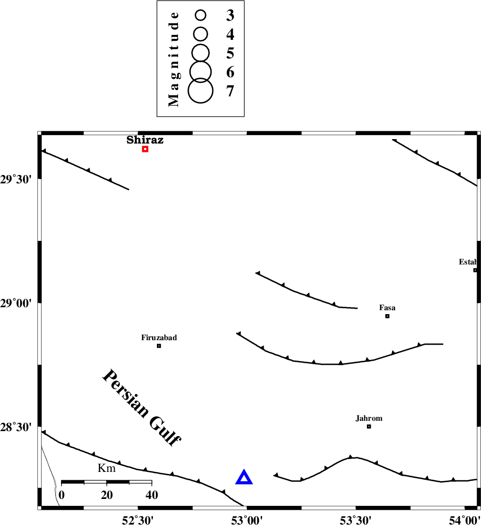
| Location | Lat:28.926 Lon: 53.056 |
| Region | Fars Province, 51 km North of Qir va Karzin |
Nearest Cities |
|
| 17 km West of Babanar, Fars Province | |
| 19 km West of Khavaran, Fars Province | |
| 21 km North West of Golberenji, Fars Province | |
| 21 km North of Jarmasht-e bala, Fars Province | |
| 26 km North East of Parzeytun, Fars Province | |
| Depth | 12 km |
| Agency | |
Faults within 150 km: |
|
| SABZ_PUSHAN_F_Z2 (Length: 24 km) , Distance to epicenter: 20 km | |
| SABZ_PUSHAN_F_Z1 (Length: 69 km) , Distance to epicenter: 35 km | |
| SARVESTAN_F (Length: 94 km) , Distance to epicenter: 37 km | |
| Number of Phases | 7 |
| RMS | 0.1 |
| Number of Stations | 7 |
| Error in Latitude | >1.3 km |
| Error in Longitude | 1.3 km |
| Error in Depth | 223.8 km |
Download waveform in seisan format
to download seisan software Click here
to access information about IIEES stations Click here
Amplitude | ||||||||
| UID | Agency | Station | Component | Amplitude | Period | Arrival Time | Proccessing Time | Signal Clip |
| 201551 | IIEES SC | KRVR | Z | 0.03 | 1 | 2026-02-15 03:32:25 | 2026-02-21 09:55:00 | n |
| 201552 | IIEES SC | AMS1 | Z | 0.08 | 1 | 2026-02-15 03:32:27 | 2026-02-21 09:55:00 | n |
| 201553 | IIEES SC | UOSS | Z | 0.03 | 1 | 2026-02-15 03:32:33 | 2026-02-21 09:55:00 | n |
| 201554 | IIEES SC | SFB | Z | 0.02 | 1 | 2026-02-15 03:32:41 | 2026-02-21 09:55:00 | n |
Phase | ||||||||||||
| Agency | Station | Component | Phase Type | Phase Quality | First Motion | Observed Arrival Time | Time Residual | Loc. Flag | Input Weight | Distance | Azimuth | |
| IIEES SC | ABH1 | Z | EPn | E | 2026-02-15 03:32:06 | -0.1 | y | 0 | 328 | 304 | ||
| IIEES SC | GENO | Z | EPn | E | 2026-02-15 03:32:09 | -0.2 | y | 0 | 350 | 119 | ||
| IIEES SC | BRJ | Z | EPn | E | 2026-02-15 03:32:13 | 0.2 | y | 0 | 373 | 332 | ||
| IIEES SC | KRVR | Z | EPn | E | 2026-02-15 03:32:25 | 0.1 | y | 0 | 474 | 50 | ||
| IIEES SC | AMS1 | Z | EPn | E | 2026-02-15 03:32:27 | 0.1 | y | 0 | 495 | 314 | ||
| IIEES SC | UOSS | Z | EPn | E | 2026-02-15 03:32:33 | 0.1 | y | 0 | 541 | 145 | ||
| IIEES SC | SFB | Z | EPn | E | 2026-02-15 03:32:41 | -0.2 | y | 0 | 606 | 353 | ||