
Magnitude |
:3.2 |
| Date & Time (UTC) | 2025-07-02 01:54:18.8 |
| Date & Time (Local) | 1404/4/11 05:24:18.8 |
| Location | Lat:39.977 Lon: 53.611 |
| Region | , 55 km -East of Turkmenbasi |
Nearest Cities |
|
| 55 km East of Turkmenbasi, Turkmenistan Province | |
| 279 km North West of Karand, Golestan Province | |
| 282 km North West of Dashliborun, Golestan Province | |
| 294 km North West of Qareh aghaj, Golestan Province | |
| 297 km North West of Enchehborun, Golestan Province | |
| Depth | 12 km |
| Agency | |
Faults within 150 km: |
|
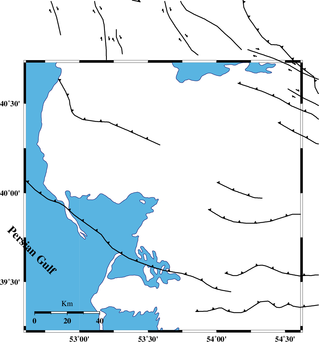
| MAIN_KOPEHDAGH_F1 (Length: 318 km) , Distance to epicenter: 59 km | |
| Number of Phases | 7 |
| RMS | 0.3 |
| Number of Stations | 7 |
| Error in Latitude | >8.9 km |
| Error in Longitude | 8.9 km |
| Error in Depth | 468.7 km |
Download waveform in seisan format
to download seisan software Click here
to access information about IIEES stations Click here
Amplitude | ||||||||
| UID | Agency | Station | Component | Amplitude | Period | Arrival Time | Proccessing Time | Signal Clip |
| 198596 | IIEES SC | BJRD | Z | 0.03 | 1 | 2025-07-02 01:55:18 | 2025-07-02 08:00:00 | n |
| 198597 | IIEES SC | KAGH | Z | 0.01 | 1 | 2025-07-02 01:55:46 | 2025-07-02 08:00:00 | n |
| 198598 | IIEES SC | ASAO | Z | 0.01 | 1 | 2025-07-02 01:55:51 | 2025-07-02 08:00:00 | n |
Phase | ||||||||||||
| Agency | Station | Component | Phase Type | Phase Quality | First Motion | Observed Arrival Time | Time Residual | Loc. Flag | Input Weight | Distance | Azimuth | |
| IIEES SC | MRVT | Z | EPn | E | 2025-07-02 01:55:08 | 0.4 | y | 0 | 335 | 140 | ||
| IIEES SC | ABGH | Z | EPn | E | 2025-07-02 01:55:13 | -0.3 | y | 0 | 374 | 164 | ||
| IIEES SC | BJRD | Z | EPn | E | 2025-07-02 01:55:18 | 0.2 | y | 0 | 416 | 127 | ||
| IIEES SC | GIDE | Z | EPn | E | 2025-07-02 01:55:25 | -0.1 | y | 0 | 473 | 224 | ||
| IIEES SC | KAGH | Z | EPn | E | 2025-07-02 01:55:46 | -0.5 | y | 0 | 649 | 121 | ||
| IIEES SC | ASAO | Z | EPn | E | 2025-07-02 01:55:51 | 0.2 | y | 0 | 681 | 208 | ||
| IIEES SC | SRSL | Z | EPn | E | 2025-07-02 01:57:24 | 74.7 | n | 4 | 830 | 240 | ||