
Magnitude |
:3.2 |
| Date & Time (UTC) | 2025-03-21 03:59:22.0 |
| Date & Time (Local) | 1404/1/1 07:29:22.0 |
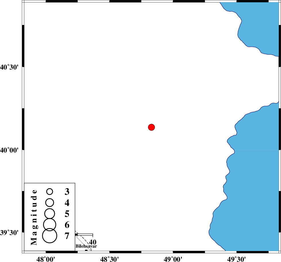
| Location | Lat:40.136 Lon: 48.83 |
| Region | Azerbaijan, 94 km North-East of Bileh Savar |
Nearest Cities |
|
| 87 km North East of Kushlu, Ardebil Province | |
| 90 km North East of Tazeh kand-e gadim, Ardebil Province | |
| 94 km South West of Baku, Azerbaijan Province | |
| 94 km North East of Bileh Savar, Ardebil Province | |
| 95 km North East of Pars Abad, Ardebil Province | |
| Depth | 12 km |
| Agency | |
Faults within 150 km: |
|
| TALESH_F (Length: 258 km) , Distance to epicenter: 101 km | |
| DASHT_E_MOGHAN__ (Length: 104 km) , Distance to epicenter: 117 km | |
| Number of Phases | 8 |
| RMS | 0.4 |
| Number of Stations | 8 |
| Error in Latitude | >9.2 km |
| Error in Longitude | 9.2 km |
| Error in Depth | 678.2 km |
Download waveform in seisan format
to download seisan software Click here
to access information about IIEES stations Click here
Amplitude | ||||||||
| UID | Agency | Station | Component | Amplitude | Period | Arrival Time | Proccessing Time | Signal Clip |
| 197726 | IIEES SC | SRSL | Z | 0.02 | 1 | 2025-03-21 04:00:35 | 2025-04-08 07:55:00 | n |
| 197727 | IIEES SC | ASAO | Z | 0.01 | 1 | 2025-03-21 04:00:48 | 2025-04-08 07:55:00 | n |
| 197728 | IIEES SC | BJRD | Z | 0.01 | 1 | 2025-03-21 04:01:08 | 2025-04-08 07:55:00 | n |
Phase | ||||||||||||
| Agency | Station | Component | Phase Type | Phase Quality | First Motion | Observed Arrival Time | Time Residual | Loc. Flag | Input Weight | Distance | Azimuth | |
| IIEES SC | GNI | Z | EPn | E | 2025-03-21 04:00:08 | -4.4 | n | 4 | 348 | 270 | ||
| IIEES SC | GIDE | Z | EPn | E | 2025-03-21 04:00:15 | -0.7 | y | 0 | 367 | 166 | ||
| IIEES SC | CHTH | Z | EPn | E | 2025-03-21 04:00:33 | 0.3 | y | 0 | 511 | 157 | ||
| IIEES SC | SRSL | Z | EPn | E | 2025-03-21 04:00:35 | -0.2 | y | 0 | 528 | 214 | ||
| IIEES SC | DAMV | Z | EPn | E | 2025-03-21 04:00:46 | 5.6 | n | 4 | 571 | 151 | ||
| IIEES SC | ASAO | Z | EPn | E | 2025-03-21 04:00:48 | 0.6 | y | 0 | 629 | 170 | ||
| IIEES SC | MRVT | Z | EPn | E | 2025-03-21 04:00:55 | 0.1 | y | 0 | 687 | 114 | ||
| IIEES SC | BJRD | Z | EPn | E | 2025-03-21 04:01:08 | 0 | y | 0 | 792 | 110 | ||