
Magnitude |
:3.5 |
| Date & Time (UTC) | 2017-03-19 22:36:36.0 |
| Date & Time (Local) | 1395/12/30 02:06:36.0 |
| Location | Lat:29.991 Lon: 48.133 |
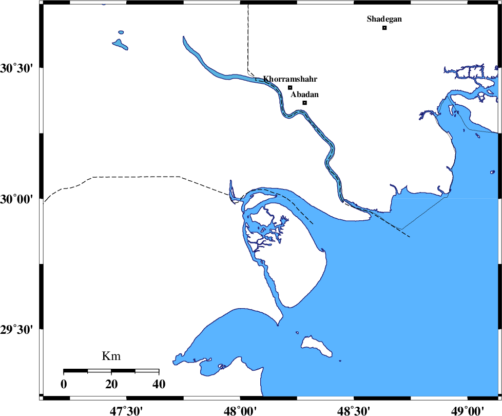
| Region | Persian Gulf, 49 km South of Khorramshahr |
Nearest Cities |
|
| 41 km South West of Farrokhzad, Khoozestan Province | |
| 44 km South West of Abadan, Khoozestan Province | |
| 49 km South of Khorramshahr, Khoozestan Province | |
| 49 km West of Arvandkenar, Khoozestan Province | |
| 53 km South of Polno, Khoozestan Province | |
| Depth | 15 km |
| Agency | |
Faults within 150 km: |
|
| Number of Phases | 7 |
| RMS | 0.3 |
| Number of Stations | 7 |
| Error in Latitude | >9.8 km |
| Error in Longitude | 2.8 km |
| Error in Depth | 0 km |
Download waveform in seisan format
to download seisan software Click here
to access information about IIEES stations Click here
Amplitude | ||||||||
| UID | Agency | Station | Component | Amplitude | Period | Arrival Time | Proccessing Time | Signal Clip |
| 121143 | IIEES | ILBA | E | 94.6 | 0.71 | 2017-03-19 22:38:49 | 2017-11-07 08:03:00 | n |
| 121144 | IIEES | ILBA | N | 38.1 | 0.71 | 2017-03-19 22:39:02 | 2017-11-07 08:03:00 | n |
| 121145 | IIEES | ASAO | N | 29.2 | 0.5 | 2017-03-19 22:38:49 | 2017-11-07 08:03:00 | n |
| 121146 | IIEES | ASAO | E | 20.8 | 0.5 | 2017-03-19 22:38:51 | 2017-11-07 08:03:00 | n |
| 121147 | IIEES | GHVR | E | 19.7 | 0.68 | 2017-03-19 22:39:05 | 2017-11-07 08:03:00 | n |
| 121148 | IIEES | GHVR | N | 9.4 | 0.57 | 2017-03-19 22:39:15 | 2017-11-07 08:03:00 | n |
Phase | ||||||||||||
| Agency | Station | Component | Phase Type | Phase Quality | First Motion | Observed Arrival Time | Time Residual | Loc. Flag | Input Weight | Distance | Azimuth | |
| IIEES | ILBA | Z | Pn | E | 2017-03-19 22:37:38 | -0.09 | y | 442 | 336 | |||
| IIEES | KHMZ | Z | Pn | E | 2017-03-19 22:37:39 | -0.11 | y | 450 | 22 | |||
| IIEES | ASAO | Z | Pn | E | 2017-03-19 22:37:50 | 0.44 | y | 536 | 19 | |||
| IIEES | GHVR | Z | Pn | E | 2017-03-19 22:37:55 | -0.02 | y | 578 | 30 | |||
| IIEES | YZKH | Z | Pn | E | 2017-03-19 22:38:06 | -0.35 | y | 671 | 65 | |||
| IIEES | KRBR | Z | Pn | E | 2017-03-19 22:38:27 | 0.36 | y | 832 | 88 | |||
| IIEES | SHRO | Z | Pn | E | 2017-03-19 22:38:46 | -0.33 | y | 993 | 46 | |||