
Magnitude |
:2.7 |
| Date & Time (UTC) | 2017-05-27 02:17:52.2 |
| Date & Time (Local) | 1396/3/6 06:47:52.2 |
| Location | Lat:35.957 Lon: 59.192 |
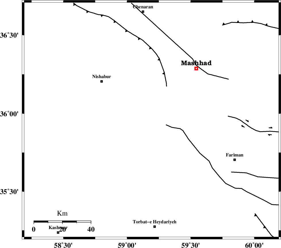
| Region | Khorasan(center) Province, 45 km South-East of Neyshabur |
Nearest Cities |
|
| 19 km East of Eshaqabad, Khorasan(center) Province | |
| 22 km South of Darrud, Khorasan(center) Province | |
| 25 km West of Emamtaqi, Khorasan(center) Province | |
| 27 km North West of Rebat-e sefid, Khorasan(center) Province | |
| 35 km South East of Abusaeedi, Khorasan(center) Province | |
| Depth | 15 km |
| Agency | |
Faults within 150 km: |
|
| BINALUD_F1 (Length: 129 km) , Distance to epicenter: 16 km | |
| TORBAT_E_JAM_F1 (Length: 71 km) , Distance to epicenter: 28 km | |
| NAYSHABUR_F (Length: 74 km) , Distance to epicenter: 40 km | |
| Number of Phases | 6 |
| RMS | 0.5 |
| Number of Stations | 6 |
| Error in Latitude | >6.5 km |
| Error in Longitude | 4.8 km |
| Error in Depth | 0 km |
Download waveform in seisan format
to download seisan software Click here
to access information about IIEES stations Click here
Amplitude | ||||||||
| UID | Agency | Station | Component | Amplitude | Period | Arrival Time | Proccessing Time | Signal Clip |
| 116288 | IIEES | BJRD | N | 39.6 | 0.39 | 2017-05-27 02:19:08 | 2017-05-27 05:04:00 | n |
| 116289 | IIEES | BJRD | E | 45.7 | 0.46 | 2017-05-27 02:19:12 | 2017-05-27 05:04:00 | n |
| 116290 | IIEES | SHRT | N | 17.5 | 0.37 | 2017-05-27 02:19:14 | 2017-05-27 05:04:00 | n |
| 116291 | IIEES | TABS | N | 21.8 | 0.66 | 2017-05-27 02:19:35 | 2017-05-27 05:04:00 | n |
Phase | ||||||||||||
| Agency | Station | Component | Phase Type | Phase Quality | First Motion | Observed Arrival Time | Time Residual | Loc. Flag | Input Weight | Distance | Azimuth | |
| IIEES | BJRD | Z | Pn | E | 2017-05-27 02:18:31 | 0.64 | y | 250 | 321 | |||
| IIEES | SHRT | Z | Pn | E | 2017-05-27 02:18:33 | -0.08 | y | 275 | 158 | |||
| IIEES | SHRO | Z | Pn | E | 2017-05-27 02:18:35 | 0.14 | y | 287 | 272 | |||
| IIEES | TABS | Z | Pn | E | 2017-05-27 02:18:39 | 0.21 | y | 319 | 217 | |||
| IIEES | MRVT | Z | Pn | E | 2017-05-27 02:18:40 | -0.95 | y | 335 | 305 | |||
| IIEES | BSRN | Z | Pn | E | 2017-05-27 02:18:54 | -0.08 | y | 443 | 181 | |||