
Magnitude |
:2.1 |
| Date & Time (UTC) | 2017-04-12 14:09:59.7 |
| Date & Time (Local) | 1396/1/23 18:39:59.7 |
| Location | Lat:32.489 Lon: 48.767 |
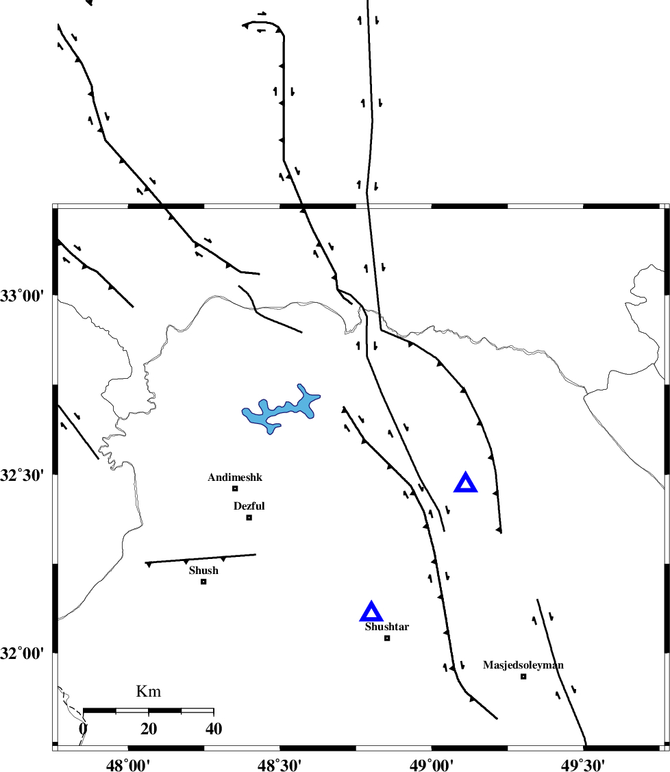
| Region | Khoozestan Province, 34 km North-West of Lali |
Nearest Cities |
|
| 7 km of Sardasht, Khoozestan Province | |
| 14 km North East of Mahur berenji, Khoozestan Province | |
| 27 km North of Gatvand, Khoozestan Province | |
| 33 km North of Samaleh, Khoozestan Province | |
| 34 km North West of Lali, Khoozestan Province | |
| Depth | 18 km |
| Agency | |
Faults within 150 km: |
|
| DEZFUL_EMBAYMENT (Length: 228 km) , Distance to epicenter: 15 km | |
| BALARUD_F_Z2 (Length: 58 km) , Distance to epicenter: 24 km | |
| MFF2 (Length: 205 km) , Distance to epicenter: 32 km | |
| Number of Phases | 6 |
| RMS | 0.2 |
| Number of Stations | 4 |
| Error in Latitude | >6 km |
| Error in Longitude | 5.4 km |
| Error in Depth | 7.8 km |
Download waveform in seisan format
to download seisan software Click here
to access information about IIEES stations Click here
Amplitude | ||||||||
| UID | Agency | Station | Component | Amplitude | Period | Arrival Time | Proccessing Time | Signal Clip |
| 115420 | IIEES | KHMZ | N | 16.9 | 0.49 | 2017-04-12 14:10:53 | 2017-04-26 09:22:00 | n |
| 115421 | IIEES | KHMZ | E | 19.8 | 0.55 | 2017-04-12 14:10:55 | 2017-04-26 09:22:00 | n |
| 115422 | IIEES | ASAO | N | 9.5 | 0.74 | 2017-04-12 14:11:17 | 2017-04-26 09:22:00 | n |
| 115423 | IIEES | ASAO | E | 8.1 | 0.34 | 2017-04-12 14:11:22 | 2017-04-26 09:22:00 | n |
| 115424 | IIEES | ILBA | E | 12.9 | 0.29 | 2017-04-12 14:11:12 | 2017-04-26 09:22:00 | n |
| 115425 | IIEES | ILBA | N | 6.5 | 0.36 | 2017-04-12 14:11:23 | 2017-04-26 09:22:00 | n |
| 115426 | IIEES | SNGE | N | 4 | 0.59 | 2017-04-12 14:11:35 | 2017-04-26 09:22:00 | n |
Phase | ||||||||||||
| Agency | Station | Component | Phase Type | Phase Quality | First Motion | Observed Arrival Time | Time Residual | Loc. Flag | Input Weight | Distance | Azimuth | |
| IIEES | KHMZ | Z | Pg | E | 2017-04-12 14:10:29 | 0.07 | y | 178 | 39 | |||
| IIEES | KHMZ | N | Sg | E | 2017-04-12 14:10:50 | 0.06 | y | 178 | 39 | |||
| IIEES | ASAO | Z | Pn | E | 2017-04-12 14:10:39 | -0.11 | y | 257 | 27 | |||
| IIEES | ASAO | N | Sg | E | 2017-04-12 14:11:12 | -0.13 | y | 257 | 27 | |||
| IIEES | ILBA | Z | Pn | E | 2017-04-12 14:10:40 | -0.19 | y | 270 | 298 | |||
| IIEES | SNGE | Z | Pn | E | 2017-04-12 14:10:47 | 0.32 | y | 317 | 336 | |||